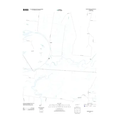
2013 Map of Knob Creek
USGS Topo · Published 2013About this map
The confluence of the Obion River and Forked Deer River dominates this low-lying riverine landscape in West Tennessee. The complex hydrology of the region is evident in the numerous oxbow lakes and side channels, including Hushpucket Lake, Brackens Lake, and the extensive Moss Island. Small riverside settlements like Tiger Tail and Stinger sit along the shifting banks, while Hickory Landing marks an traditional access point further east. To the south, the village of Knob Creek anchors the local road network where Knob Cr and Mill Cr meet. The terrain is defined by the winding paths of the Old Bed Forked Deer River, illustrating how the waterway has migrated over time across the bottomlands. Higher ground is found at Papaw Ridge, offering a rare break in the flat alluvial plain north of Knob Creek.
Find a feature on this map
38 named features on this map. Tap any name to fly to it.
Don’t see what you’re looking for? This feature index may not catch every label — zoom into the map to look around manually.
Map Details
Editions of this 2013 Knob Creek Map
This is the sole edition of this map. No revisions or reprints were ever made.
Other maps of this area

1939 · Dyersburg
USGS Topo · 1:62,500

1939 · Hales Point
USGS Topo · 1:62,500

1939 · Caruthersville
USGS Topo · 1:62,500

1939 · Halls
USGS Topo · 1:62,500

1951 · Caruthersville
USGS Topo · 1:62,500

1952 · Hales Point
USGS Topo · 1:62,500

1952 · Gates
USGS Topo · 1:24,000

1952 · Dyersburg
USGS Topo · 1:24,000

1952 · Fowlkes
USGS Topo · 1:24,000

1956 · Dyersburg
USGS Topo · 1:250,000