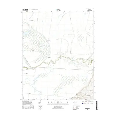
2016 Map of Knob Creek
USGS Topo · Published 2016About this map
The confluence of the Obion River and the Forked Deer River dominates this West Tennessee landscape, where the meandering waterways define the border between Dyer and Lauderdale Counties. The region is a dense network of hydrologic features including Moss Island, Rush Slough, and Bostic Slough, alongside numerous oxbow lakes such as Rhodes Lake, Forked Lake, and Hushpucket Lake. These natural formations indicate a historically active floodplain that has shaped local land use and boundaries.
Find a feature on this map
35 named features on this map. Tap any name to fly to it.
Don’t see what you’re looking for? This feature index may not catch every label — zoom into the map to look around manually.
Map Details
Editions of this 2016 Knob Creek Map
This is the sole edition of this map. No revisions or reprints were ever made.
Other maps of this area

1939 · Dyersburg
USGS Topo · 1:62,500

1939 · Hales Point
USGS Topo · 1:62,500

1939 · Caruthersville
USGS Topo · 1:62,500

1939 · Halls
USGS Topo · 1:62,500

1951 · Caruthersville
USGS Topo · 1:62,500

1952 · Hales Point
USGS Topo · 1:62,500

1952 · Gates
USGS Topo · 1:24,000

1952 · Dyersburg
USGS Topo · 1:24,000

1952 · Fowlkes
USGS Topo · 1:24,000

1956 · Dyersburg
USGS Topo · 1:250,000