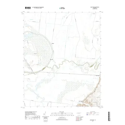
2019 Map of Knob Creek
USGS Topo · Published 2019About this map
The confluence of the Obion River and the Forked Deer River dominates this West Tennessee landscape, marking the boundary between Dyer and Lauderdale counties. This delta-like environment is defined by a complex network of wetlands and oxbow formations, including Dunham Lake, Forked Lake, and the curiously named Hushpucket Lake. The terrain is shaped by the river's historical shifts, evidenced by the Old Bed Forked Deer River and numerous sloughs like Rush Slough and Rock Slough.
Find a feature on this map
36 named features on this map. Tap any name to fly to it.
Don’t see what you’re looking for? This feature index may not catch every label — zoom into the map to look around manually.
Map Details
Editions of this 2019 Knob Creek Map
This is the sole edition of this map. No revisions or reprints were ever made.
Other maps of this area

1939 · Dyersburg
USGS Topo · 1:62,500

1939 · Hales Point
USGS Topo · 1:62,500

1939 · Caruthersville
USGS Topo · 1:62,500

1939 · Halls
USGS Topo · 1:62,500

1951 · Caruthersville
USGS Topo · 1:62,500

1952 · Hales Point
USGS Topo · 1:62,500

1952 · Gates
USGS Topo · 1:24,000

1952 · Dyersburg
USGS Topo · 1:24,000

1952 · Fowlkes
USGS Topo · 1:24,000

1956 · Dyersburg
USGS Topo · 1:250,000