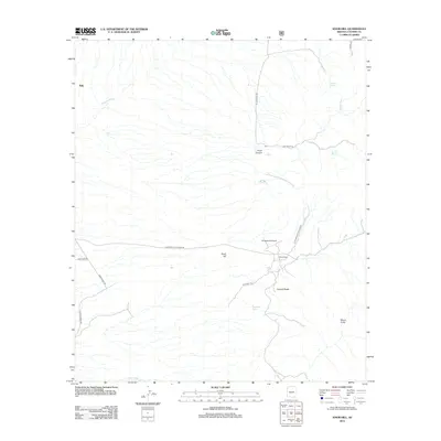
2012 Map of Knob Hill
USGS Topo · Published 2012About this map
Tully marks the northern extent of this Cochise County landscape, where the arid terrain is defined by a complex network of seasonal drainages and named canyon systems. The topographical character is anchored by the prominent Knob Hill and the distinctive geological formation known as Council Rocks. This 2012 survey illustrates a sparsely settled area where life revolves around water sources like Dragoon Spring, Cave Spring, and Packard Tank.
Find a feature on this map
22 named features on this map. Tap any name to fly to it.
Don’t see what you’re looking for? This feature index may not catch every label — zoom into the map to look around manually.
Map Details
Editions of this 2012 Knob Hill Map
This is the sole edition of this map. No revisions or reprints were ever made.
Other maps of this area

1915 · Benson
USGS Topo · 1:125,000

1916 · Pearce
USGS Topo · 1:125,000

1922 · Willcox
USGS Topo · 1:125,000

1922 · St. David
USGS Topo · 1:62,500

1926 · Courtland
USGS Topo · 1:62,500

1943 · Benson
USGS Topo · 1:125,000

1943 · Cochise
USGS Topo · 1:62,500

1943 · Dragoon
USGS Topo · 1:62,500

1954 · Silver City
USGS Topo · 1:250,000

1955 · Douglas
USGS Topo · 1:250,000