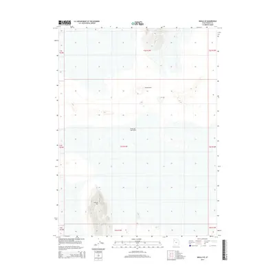
2014 Map of Knolls SE
USGS Topo · Published 2014About this map
The Great Salt Lake Desert dominates this landscape, showing the stark and specialized terrain of Tooele County. This arid environment is marked by shifting topography, most notably the Knolls Dunes which punctuate the flats. To the south, the elevation rises sharply at Kittycat Mtn, a prominent landform that provides a clear navigational point against the surrounding desert floor. The map highlights the vast, open character of this region, where traditional settlements are absent in favor of natural features and surveying boundaries. Researchers interested in the topography of the eastern Great Basin will find the precise contour intervals and landform labeling of this 2014 survey essential for understanding the area's physical geography.
Find a feature on this map
12 named features on this map. Tap any name to fly to it.
Don’t see what you’re looking for? This feature index may not catch every label — zoom into the map to look around manually.
Map Details
Editions of this 2014 Knolls SE Map
This is the sole edition of this map. No revisions or reprints were ever made.
Other maps of this area

1953 · Tooele
USGS Topo · 1:250,000

1954 · Wildcat Mtn
USGS Topo · 1:24,000

1954 · Wig Mtn NW
USGS Topo · 1:24,000

1955 · Tooele
USGS Topo · 1:250,000

1973 · Knolls SW
USGS Topo · 1:24,000

1973 · Wildcat Mountain NW
USGS Topo · 1:24,000

1973 · Knolls
USGS Topo · 1:24,000

1973 · Aragonite NW
USGS Topo · 1:24,000

1973 · Barro
USGS Topo · 1:24,000

1973 · Knolls SE
USGS Topo · 1:24,000