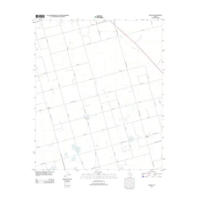
2012 Map of Knott
USGS Topo · Published 2012About this map
Knott and the small settlement of Brown anchor this Martin County landscape, where the flat Texas terrain is divided by a rigid grid of agricultural roads. The area is defined by its rural connectivity, evidenced by the intersection of secondary arteries like Ranch Road 846 and Farm-To-Market Road 466. These routes, alongside numerous county lines such as W C R 54 and Co RD-4200, suggest a highly organized ranching and farming community where land ownership and access follow the township-and-range surveying system.
Find a feature on this map
34 named features on this map. Tap any name to fly to it.
Don’t see what you’re looking for? This feature index may not catch every label — zoom into the map to look around manually.
Map Details
Editions of this 2012 Knott Map
This is the sole edition of this map. No revisions or reprints were ever made.
Other maps of this area

1954 · Big Spring
USGS Topo · 1:250,000

1958 · Big Spring
USGS Topo · 1:250,000

1966 · Knott
USGS Topo · 1:24,000

1966 · Merrick
USGS Topo · 1:24,000

1966 · Knott SE
USGS Topo · 1:24,000

1966 · Knott SW
USGS Topo · 1:24,000
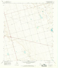
1966 · Lenorah East
USGS Topo · 1:24,000

1966 · Knott NE
USGS Topo · 1:24,000

1970 · Vealmoor
USGS Topo · 1:24,000

1970 · Ackerly
USGS Topo · 1:24,000