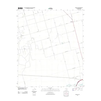
2012 Map of Knott SE
USGS Topo · Published 2012About this map
Fairview anchors the northeastern portion of this Howard County landscape, situated at the intersection of several significant local thoroughfares. This region of West Texas is characterized by its agricultural and industrial layout, where the geometric precision of county roads like Moore School Rd and Co Op Gin Rd hints at a history tied to rural education and cotton processing. The presence of the Varel Oil Field in the west-central section underscores the long-standing importance of petroleum extraction to the local economy. In the southern reaches, the terrain shifts near the drainage of Beals Cr, which connects Threemile Lake and Onemile Lake. These water features, alongside the uniquely named Buzzard Draw, provide the primary relief to an otherwise structured landscape of ranch roads and section lines.
Find a feature on this map
38 named features on this map. Tap any name to fly to it.
Don’t see what you’re looking for? This feature index may not catch every label — zoom into the map to look around manually.
Map Details
Editions of this 2012 Knott SE Map
This is the sole edition of this map. No revisions or reprints were ever made.
Other maps of this area

1941 · Morita
USGS Topo · 1:62,500

1941 · Big Spring South
USGS Topo · 1:62,500

1942 · Big Spring South
USGS Topo · 1:62,500

1942 · Big Spring North
USGS Topo · 1:62,500

1949 · Morita
USGS Topo · 1:62,500

1954 · Big Spring
USGS Topo · 1:250,000

1954 · Big Spring North
USGS Topo · 1:24,000

1958 · Big Spring
USGS Topo · 1:250,000

1965 · Big Spring North
USGS Topo · 1:24,000

1966 · Knott
USGS Topo · 1:24,000