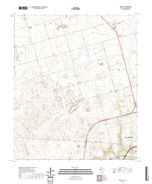
2022 Map of Knott SE
USGS Topo · Published 2022About this map
Big Spring anchors the southeast corner of this Howard County landscape, where the urban fringe gives way to a grid of agricultural and ranch roads. The terrain is defined by the ephemeral drainage of Buzzard Draw and the southern flow of Beals Cr, illustrating the water-dependent settlement patterns of West Texas. Near the center of the sheet, the Moore Community area preserves local history through the Moore Community Cem and Moore School Rd, names that reflect the families and rural institutions that once formed the backbone of this district.
Find a feature on this map
32 named features on this map. Tap any name to fly to it.
Don’t see what you’re looking for? This feature index may not catch every label — zoom into the map to look around manually.
Map Details
Editions of this 2022 Knott SE Map
This is the sole edition of this map. No revisions or reprints were ever made.
Other maps of this area

1941 · Morita
USGS Topo · 1:62,500

1941 · Big Spring South
USGS Topo · 1:62,500

1942 · Big Spring South
USGS Topo · 1:62,500

1942 · Big Spring North
USGS Topo · 1:62,500

1949 · Morita
USGS Topo · 1:62,500

1954 · Big Spring
USGS Topo · 1:250,000

1954 · Big Spring North
USGS Topo · 1:24,000

1958 · Big Spring
USGS Topo · 1:250,000

1965 · Big Spring North
USGS Topo · 1:24,000

1966 · Knott
USGS Topo · 1:24,000