
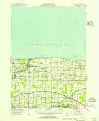
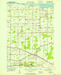
2023 Map of Knowlesville
USGS Topo · Published 2023About this map
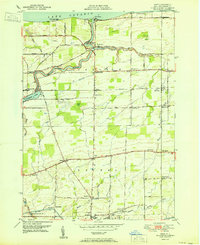
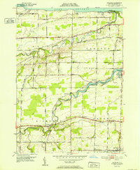
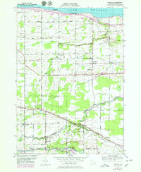
The Erie Canal cuts through the northern landscape of Orleans County, defining the early commercial corridor for settlements like Knowlesville and Eagle Harbor Station. This modern survey illustrates the enduring agricultural and rural character of the region, where family and community heritage is preserved in numerous small burial grounds such as Maple Ridge Cem, Swart Culver Cem, and Fletcher Chapel Cem. The transport network relies on historic routes like Telegraph Rd, which parallels the canal, and Portage Rd, connecting the scattered hamlets.
Find a feature on this map
87 named features on this map. Tap any name to fly to it.
Don’t see what you’re looking for? This feature index may not catch every label — zoom into the map to look around manually.
Map Details
Editions of this 2023 Knowlesville Map
This is the sole edition of this map. No revisions or reprints were ever made.
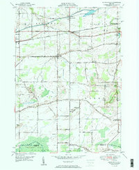
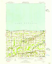
Historical Maps of Knowlesville Through Time
18 maps found
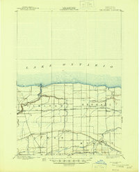
1897 Oak Orchard
Orleans County, NY
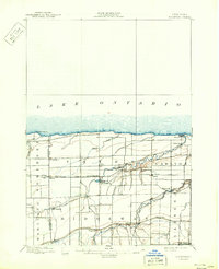
1897 Ridgeway
Orleans County, NY
1944 Ashwood
Orleans County, NY
1949 Kendall
Orleans County, NY
1950 Ashwood
Orleans County, NY
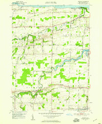
1950 Knowlesville
Orleans County, NY
1950 Ridgeway
Orleans County, NY
1951 Kendall
Orleans County, NY
1951 Kent
Orleans County, NY
1952 Ashwood
Orleans County, NY
1978 Kendall
Orleans County, NY
2023 Ashwood OE N
Orleans County, NY

2023 Ashwood
Orleans County, NY
2023 Kendall OE N
Orleans County, NY
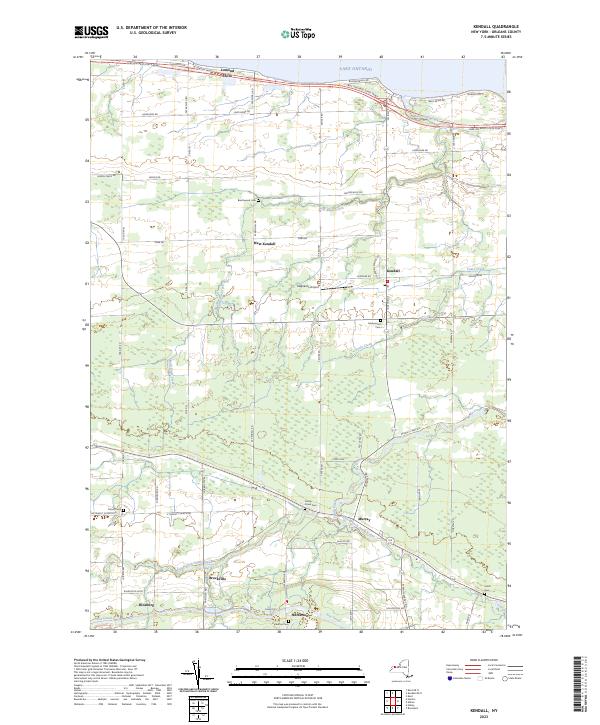
2023 Kendall
Orleans County, NY
2023 Kent OE N
Orleans County, NY

2023 Kent
Orleans County, NY
2023 Knowlesville
Orleans County, NY