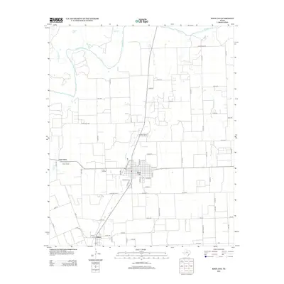
2013 Map of Knox City
USGS Topo · Published 2013About this map
Knox City serves as the central hub of this agricultural landscape in Knox County, characterized by a meticulous grid of rural roads and waterways. The northern border is defined by the winding course of the Brazos River, which is fed by various tributaries including China Br and Gyp Cr. The settlement pattern reflects the importance of aviation and regional transit, evidenced by both the Harrison Field of Knox City Airport and the Oliver Airport located near Union Grove.
Find a feature on this map
64 named features on this map. Tap any name to fly to it.
Don’t see what you’re looking for? This feature index may not catch every label — zoom into the map to look around manually.
Map Details
Editions of this 2013 Knox City Map
This is the sole edition of this map. No revisions or reprints were ever made.
Other maps of this area

1954 · Wichita Falls
USGS Topo · 1:250,000

1958 · Wichita Falls
USGS Topo · 1:250,000

1965 · Jud
USGS Topo · 1:24,000

1967 · Cedar Mountain
USGS Topo · 1:24,000

1967 · Benjamin
USGS Topo · 1:24,000

1967 · Rochester
USGS Topo · 1:24,000

1967 · Weinert
USGS Topo · 1:24,000

1967 · Knox City NW
USGS Topo · 1:24,000

1967 · Rhineland
USGS Topo · 1:24,000

1968 · Munday West
USGS Topo · 1:24,000