
1901 Map of Knoxville
USGS Topo · Published 1901About this map
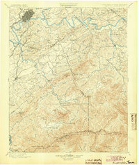
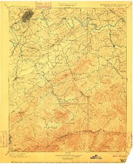
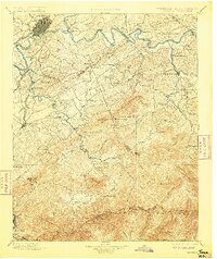
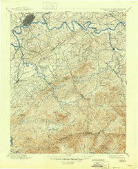
The Tennessee River serves as the focal point for this 1901 survey, where the Holston River and French Broad River converge just east of Knoxville. The map illustrates a transitional landscape, from the rail-serviced urban center of Knoxville with its Southern R. R. Bristol and Chattanooga Div. and Knoxville and Augusta Railroad lines, to the remote high ridges of the Great Smoky Mountains. This period shows the region before the creation of the national park, documenting early settlements like Gatlinburg, Tuckaleeche, and the isolated community of Cade Cove.
Find a feature on this map
130 named features on this map. Tap any name to fly to it.
Don’t see what you’re looking for? This feature index may not catch every label — zoom into the map to look around manually.
Map Details
Editions of this 1901 Knoxville Map
5 editions found
Other maps of this area

1883 · Morristown
USGS Topo · 1:125,000

1886 · Knoxville
USGS Topo · 1:125,000

1891 · Cowee
USGS Topo · 1:125,000

1892 · Knoxville
USGS Topo · 1:125,000

1893 · Mt Guyot
USGS Topo · 1:125,000

1893 · Morristown
USGS Topo · 1:125,000

1893 · Murphy
USGS Topo · 1:125,000

1893 · Briceville
USGS Topo · 1:125,000

1894 · Knoxville
USGS Topo · 1:125,000

1895 · Morristown
USGS Topo · 1:125,000