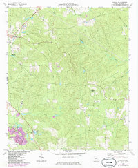
1974 Map of Knoxville
USGS Topo · Published 1986About this map
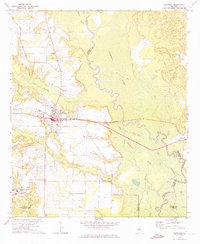
The Southern railroad line cuts through the western edge of this Crawford County landscape, connecting the small settlements of Knoxville, Roberta, Gaillard, and Allon. These communities appear during a period of transition, with residential growth and industrial features like a Substation and Athletic Field appearing alongside traditional rural landmarks. The terrain is defined by a dense network of waterways including Sweetwater Creek, Beaver Creek, and Mossy Creek, which carve through the land near prominent elevations like Culpepper Hill.
Find a feature on this map
31 named features on this map. Tap any name to fly to it.
Don’t see what you’re looking for? This feature index may not catch every label — zoom into the map to look around manually.
Map Details
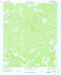
Editions of this 1974 Knoxville Map
2 editions found
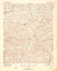
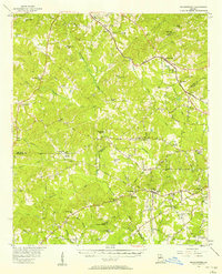
Other maps of this area
1951 · Yatesville
USGS Topo · 1:62,500

1955 · Phenix City
USGS Topo · 1:250,000

1956 · Fort Valley
USGS Topo · 1:62,500
1956 · Bolingbroke
USGS Topo · 1:62,500

1957 · Phenix City
USGS Topo · 1:250,000

1957 · Macon
USGS Topo · 1:250,000

1958 · Macon
USGS Topo · 1:250,000

1958 · Phenix City
USGS Topo · 1:250,000

1964 · Macon
USGS Topo · 1:250,000
1971 · Reynolds
USGS Topo · 1:24,000