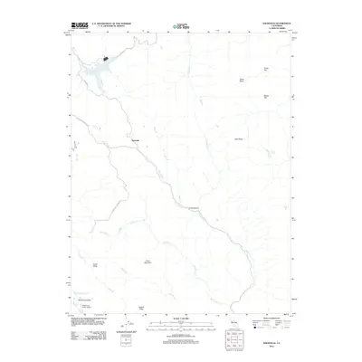
2012 Map of Knoxville
USGS Topo · Published 2012About this map
Knoxville serves as the primary point of settlement in this northern California landscape, situated along the winding course of Knoxville Cr. The area is characterized by a complex network of seasonal drainages, including Zim Zim Cr, Eticuera Cr, and Foley Cr, which carve through the prominent topography of the Blue Ridge and Buck Mountain. This survey reflects the region's ranching and aviation history, notably featuring the Mysterious Valley Airport tucked within Mysterious Valley to the southwest.
Find a feature on this map
25 named features on this map. Tap any name to fly to it.
Don’t see what you’re looking for? This feature index may not catch every label — zoom into the map to look around manually.
Map Details
Editions of this 2012 Knoxville Map
This is the sole edition of this map. No revisions or reprints were ever made.
Other maps of this area

1924 · Capay
USGS Topo · 1:62,500

1942 · St. Helena
USGS Topo · 1:62,500

1943 · Morgan Valley
USGS Topo · 1:62,500

1943 · Capay
USGS Topo · 1:62,500

1944 · Morgan Valley
USGS Topo · 1:62,500

1945 · Capay
USGS Topo · 1:62,500

1945 · Rumsey
USGS Topo · 1:62,500

1945 · St. Helena
USGS Topo · 1:62,500

1947 · Santa Rosa
USGS Topo · 1:250,000

1949 · Santa Rosa
USGS Topo · 1:250,000