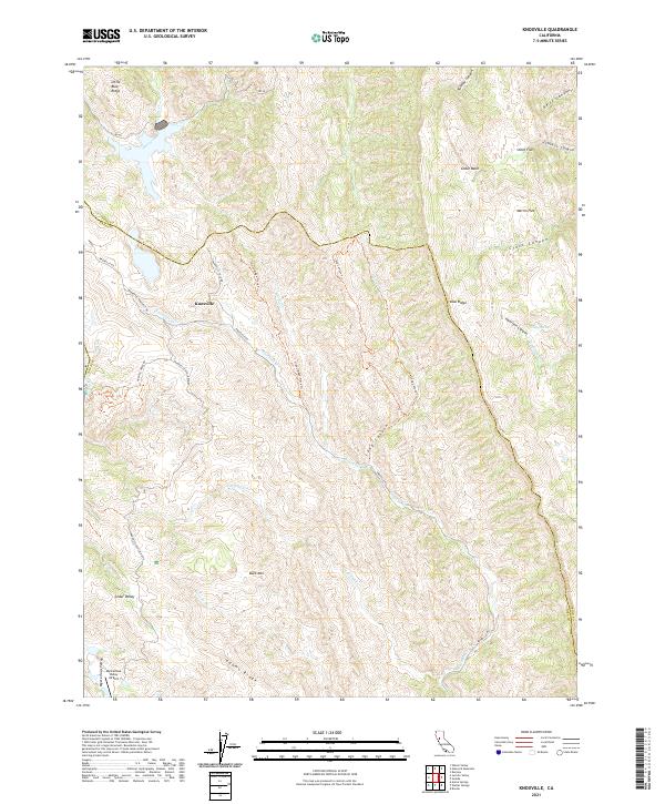
2021 Map of Knoxville
USGS Topo · Published 2021About this map
Knoxville sits at the heart of this landscape along the border of Napa and Yolo counties, a region defined by dramatic ridgelines and secluded drainage basins. The area's complex topography is marked by the Blue Ridge and Little Blue Ridge to the north, creating a natural divide where Davis Creek and Knoxville Cr flow through the valleys. The map reveals a network of remote access routes like Knoxville Rd and the Foley Ridge Track Trl, which connect high-elevation flats such as Martin Flat and Smith Flat. Further south, the curiously named Mysterious Valley and its associated Mysterious Valley Airport suggest a localized pocket of activity amidst the rugged terrain of Buck Mtn and Adams Ridge. This survey provides a modern look at the hydraulic patterns of the Zim Zim Cr and Eticuera Cr watersheds, essential for understanding the hydrology of this interior California range.
Find a feature on this map
45 named features on this map. Tap any name to fly to it.
Don’t see what you’re looking for? This feature index may not catch every label — zoom into the map to look around manually.
Map Details
Editions of this 2021 Knoxville Map
This is the sole edition of this map. No revisions or reprints were ever made.
Other maps of this area

1924 · Capay
USGS Topo · 1:62,500

1942 · St. Helena
USGS Topo · 1:62,500

1943 · Morgan Valley
USGS Topo · 1:62,500

1943 · Capay
USGS Topo · 1:62,500

1944 · Morgan Valley
USGS Topo · 1:62,500

1945 · Capay
USGS Topo · 1:62,500

1945 · Rumsey
USGS Topo · 1:62,500

1945 · St. Helena
USGS Topo · 1:62,500

1947 · Santa Rosa
USGS Topo · 1:250,000

1949 · Santa Rosa
USGS Topo · 1:250,000