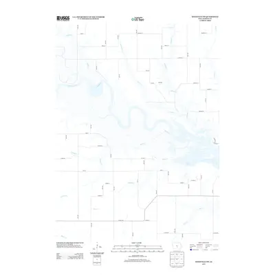
2013 Map of Knoxville NW
USGS Topo · Published 2013About this map
The Des Moines River carves a winding path through this portion of Marion County, defining a landscape of deep riparian curves and expansive drainage systems. The small settlement of Dunreath sits north of the river, positioned between the branches of Calhoun Cr and Prairie Cr. This 2013 survey illustrates the complex hydrology of the region, where numerous named tributaries such as Wildcat Cr, Ballard Cr, and Walnut Cr feed into the primary river valley. To the southeast, the waters of Roberts Creek expand into a broader basin, contrasting with the narrow, linear creek beds like Teter Cr and Butcher Cr that drain the surrounding agricultural uplands. A grid of rural routes, including Co Hwy-G40 and Beardsley St, provides access across the township's rolling terrain.
Find a feature on this map
53 named features on this map. Tap any name to fly to it.
Don’t see what you’re looking for? This feature index may not catch every label — zoom into the map to look around manually.
Map Details
Editions of this 2013 Knoxville NW Map
This is the sole edition of this map. No revisions or reprints were ever made.
Other maps of this area

1909 · Knoxville
USGS Topo · 1:62,500

1910 · Milo
USGS Topo · 1:62,500

1912 · Knoxville
USGS Topo · 1:62,500

1930 · Mitchellville
USGS Topo · 1:62,500

1954 · Des Moines
USGS Topo · 1:250,000

1956 · Des Moines
USGS Topo · 1:250,000

1957 · Des Moines
USGS Topo · 1:250,000

1965 · Pleasantville
USGS Topo · 1:24,000

1965 · Prairie City
USGS Topo · 1:24,000

1965 · Knoxville NW
USGS Topo · 1:24,000
Featured Places
- Knoxville Township, IA
- Union Township, IA
- Red Rock Township, IA
- Pleasant Grove Township, IA
- Marion County, IA