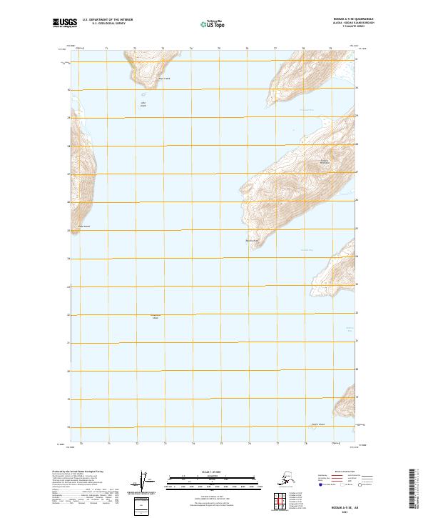
2021 Map of Kodiak A-5 SE
USGS Topo · Published 2021About this map
Natalia Peninsula dominates the eastern portion of this coastal survey, reaching into the Gulf of Alaska waters near the southern tip of Kodiak Island. This maritime landscape is defined by its deep inlets and hazardous waters, notably Newman Bay and Natalia Bay, which carve into the landmass. Off the coast, navigational markers and small landforms like John Island and Puffin Island sit near the entrance to these protected bays.
Find a feature on this map
16 named features on this map. Tap any name to fly to it.
Don’t see what you’re looking for? This feature index may not catch every label — zoom into the map to look around manually.
Map Details
Editions of this 2021 Kodiak A-5 SE Map
This is the sole edition of this map. No revisions or reprints were ever made.
Other maps of this area

1951 · Kaguyak
USGS Topo · 1:250,000

1952 · Kodiak
USGS Topo · 1:250,000

1952 · Kaguyak
USGS Topo · 1:250,000

1952 · Kaguyak D-5
USGS Topo · 1:63,360
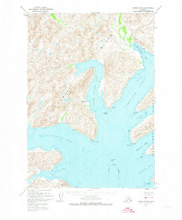
1952 · Kodiak A-5
USGS Topo · 1:63,360
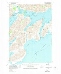
1952 · Kodiak A-4
USGS Topo · 1:63,360
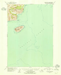
1954 · Kaguyak D-5
USGS Topo · 1:63,360
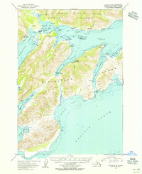
1954 · Kodiak A-4
USGS Topo · 1:63,360
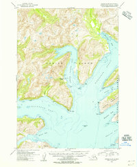
1954 · Kodiak A-5
USGS Topo · 1:63,360
2021 · Kaguyak D-5 NE
USGS Topo · 1:25,000