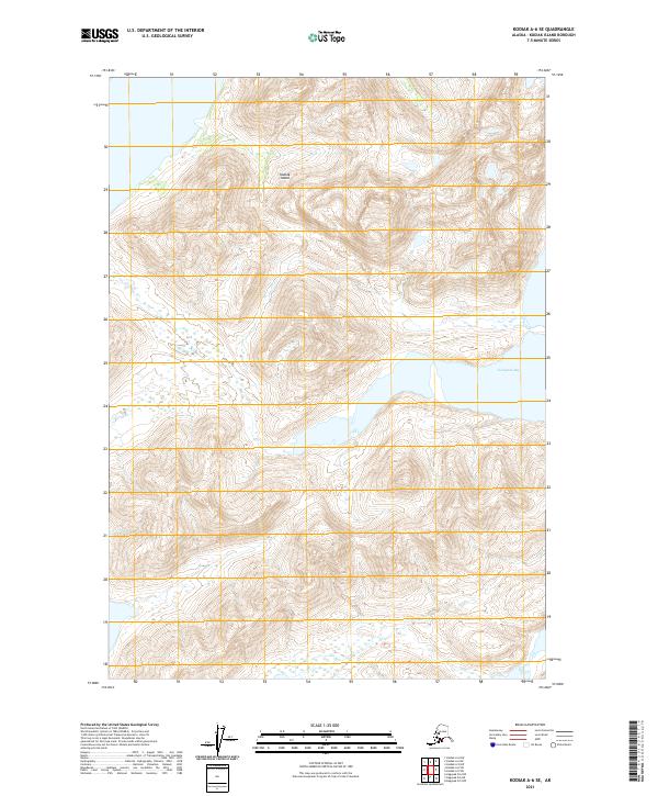
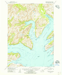
2021 Map of Kodiak A-6 SE
USGS Topo · Published 2021About this map
Kodiak Island terrain dominates this quadrangle, showcasing a landscape defined by dramatic elevation changes and the deeply recessed waters of Kaiugnak Bay. This survey captures the topographical complexity of the island's southeastern reaches, where high ridges and steep valleys meet the shoreline. The map provides precise vertical detail via 40-foot contour intervals, illustrating the coastal drainage patterns and mountainous interior typical of this region of Alaska. While the map is devoid of named human settlements, schools, or churches, it serves as a primary record of the physical geography and land division boundaries within the t35s r28w and t36s r28w township grids, essential for understanding the island's uninhabited wilderness and maritime interface.
Find a feature on this map
8 named features on this map. Tap any name to fly to it.
Don’t see what you’re looking for? This feature index may not catch every label — zoom into the map to look around manually.
Map Details
Editions of this 2021 Kodiak A-6 SE Map
This is the sole edition of this map. No revisions or reprints were ever made.
Other maps of this area

1951 · Kaguyak
USGS Topo · 1:250,000

1952 · Kodiak
USGS Topo · 1:250,000

1952 · Kaguyak
USGS Topo · 1:250,000

1952 · Kaguyak D-5
USGS Topo · 1:63,360

1952 · Kaguyak D-6
USGS Topo · 1:63,360

1952 · Kodiak A-6
USGS Topo · 1:63,360
1952 · Kodiak A-5
USGS Topo · 1:63,360
1954 · Kaguyak D-5
USGS Topo · 1:63,360
1954 · Kodiak A-6
USGS Topo · 1:63,360
1954 · Kodiak A-5
USGS Topo · 1:63,360