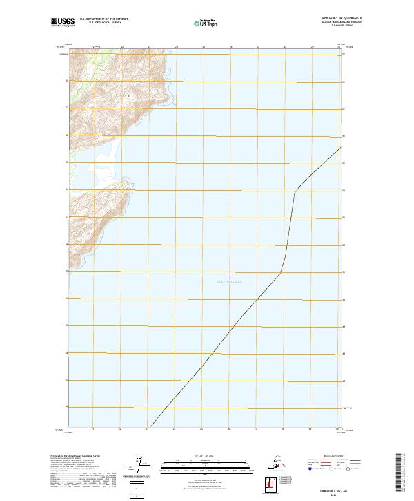
2021 Map of Kodiak B-2 SW
USGS Topo · Published 2021About this map
The Gulf of Alaska dominates the vast majority of this coastal survey along the eastern edge of Kodiak Island. The shoreline itself is defined by steep, elevation-dense terrain that rises sharply from the sea, creating a narrow transition between the open water and the interior highlands. Public Land Survey System identifiers like T32s R21w and T33s R21w provide the primary framework for locating specific coastal sections and township boundaries. This 2021 update records the contemporary topography and shoreline of a largely uninhabited and roadless maritime environment, where the landscape is shaped more by natural hydrology and elevation than by human settlement or infrastructure.
Find a feature on this map
4 named features on this map. Tap any name to fly to it.
Don’t see what you’re looking for? This feature index may not catch every label — zoom into the map to look around manually.
Map Details
Editions of this 2021 Kodiak B-2 SW Map
This is the sole edition of this map. No revisions or reprints were ever made.
Other maps of this area

1949 · Kodiak B-1 and B-2
USGS Topo · 1:63,360

1949 · Kodiak A-3
USGS Topo · 1:63,360

1949 · Kodiak B-3
USGS Topo · 1:63,360

1950 · Kodiak A-3
USGS Topo · 1:63,360

1950 · Kodiak B-3
USGS Topo · 1:63,360

1951 · Kodiak B-1 and B-2
USGS Topo · 1:63,360

1952 · Kodiak
USGS Topo · 1:250,000
1987 · Kodiak B-2 NE
USGS Topo · 1:25,000
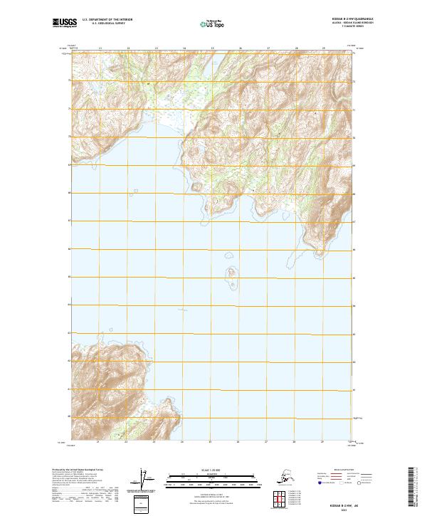
2021 · Kodiak B-2 NW
USGS Topo · 1:25,000
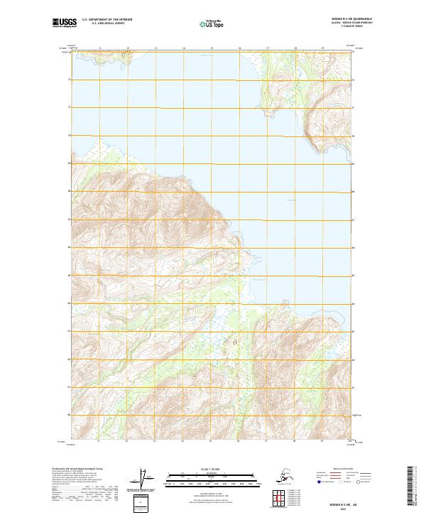
2021 · Kodiak B-3 NE
USGS Topo · 1:25,000