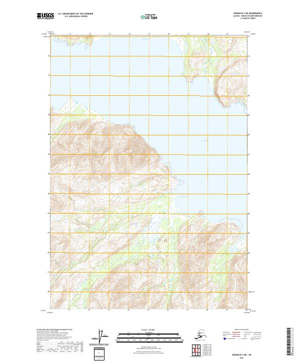
2021 Map of Kodiak B-3 NE
USGS Topo · Published 2021About this map
Ugak Bay defines the eastern shoreline of this coastal stretch of Kodiak Island, where deep water meets a dramatic vertical landscape. The terrain is marked by the distinct maritime indentations of Saltery Cove in the north and the wide mouth of Eagle Harbor to the south. These features are characteristic of the island's fjord-like geography, providing natural shelter along an otherwise exposed Pacific coastline. While the map is dominated by the steep relief of the interior, the convergence of these coastal labels suggests a landscape shaped by historical reliance on water access. The absence of named terrestrial settlements or road networks in this area highlights the remote, wilderness character of the Kodiak Island Borough as it appeared in the early 2020s.
Find a feature on this map
7 named features on this map. Tap any name to fly to it.
Don’t see what you’re looking for? This feature index may not catch every label — zoom into the map to look around manually.
Map Details
Editions of this 2021 Kodiak B-3 NE Map
This is the sole edition of this map. No revisions or reprints were ever made.
Other maps of this area

1949 · Kodiak C-2
USGS Topo · 1:63,360

1949 · Kodiak B-1 and B-2
USGS Topo · 1:63,360

1949 · Kodiak B-3
USGS Topo · 1:63,360

1950 · Kodiak B-3
USGS Topo · 1:63,360

1951 · Kodiak B-1 and B-2
USGS Topo · 1:63,360

1952 · Kodiak
USGS Topo · 1:250,000

1952 · Kodiak C-3
USGS Topo · 1:63,360

1954 · Kodiak C-3
USGS Topo · 1:63,360
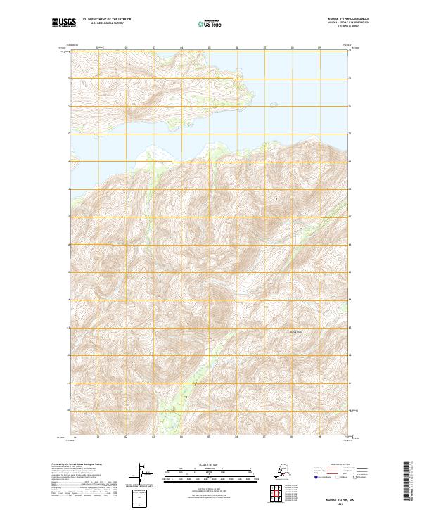
2021 · Kodiak B-3 NW
USGS Topo · 1:25,000
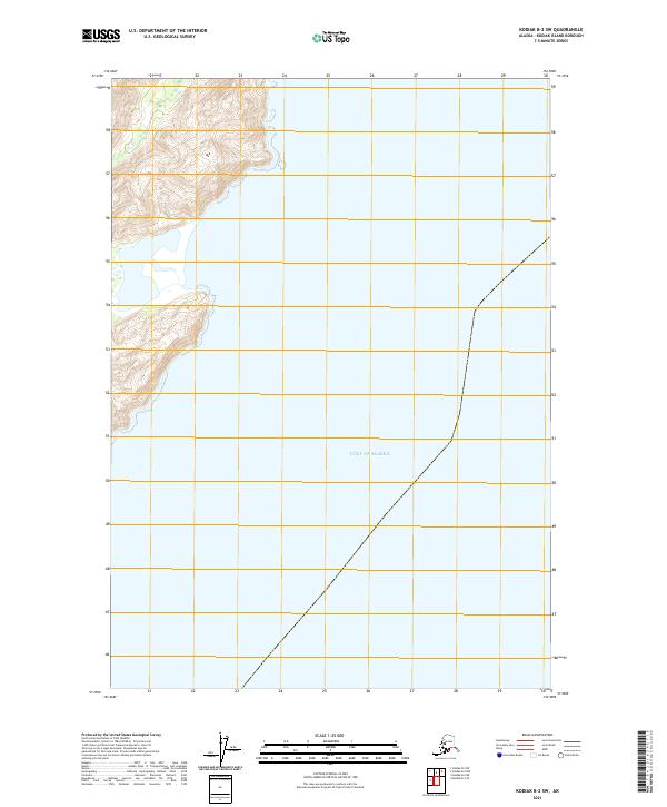
2021 · Kodiak B-2 SW
USGS Topo · 1:25,000