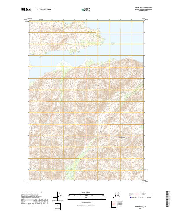
2021 Map of Kodiak B-3 NW
USGS Topo · Published 2021About this map
Kodiak Island terrain dominates this topographical study, defined by extreme elevation changes and sharp ridgelines. The map primarily records the natural geography and public land survey divisions, including townships t31s r23w and t32s r23w. The landscape is characterized by a dense network of high peaks and steep drainages, emphasizing the island's isolation and undeveloped character during the early 21st century. While largely devoid of named human settlements or infrastructure, the survey provides precise contour data essential for understanding the physical environment of this portion of the archipelago.
Find a feature on this map
5 named features on this map. Tap any name to fly to it.
Don’t see what you’re looking for? This feature index may not catch every label — zoom into the map to look around manually.
Map Details
Editions of this 2021 Kodiak B-3 NW Map
This is the sole edition of this map. No revisions or reprints were ever made.
Other maps of this area

1949 · Kodiak B-3
USGS Topo · 1:63,360

1950 · Kodiak B-3
USGS Topo · 1:63,360

1952 · Kodiak
USGS Topo · 1:250,000

1952 · Kodiak C-3
USGS Topo · 1:63,360

1952 · Kodiak C-4
USGS Topo · 1:63,360

1952 · Kodiak B-4
USGS Topo · 1:63,360

1954 · Kodiak C-3
USGS Topo · 1:63,360
1954 · Kodiak B-4
USGS Topo · 1:63,360
1954 · Kodiak C-4
USGS Topo · 1:63,360
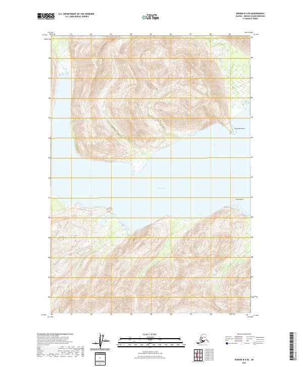
2021 · Kodiak B-4 SE
USGS Topo · 1:25,000