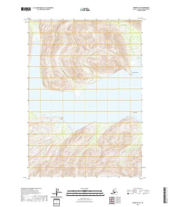
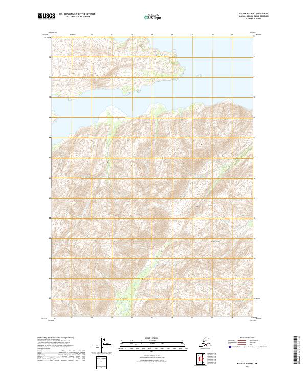
2021 Map of Kodiak B-4 SE
USGS Topo · Published 2021About this map
Kiliuda Bay dominates this coastal landscape on the southeastern side of Kodiak Island, its deep waters forming a significant break in the steep, island terrain. The survey captures a topography defined by sharp elevation changes along the shoreline, where Coxcomb Point and Pivot Point serve as the primary named landmarks marking the entrance and transitions of the bay. This 2021 update from the U.S. Geological Survey reflects a region largely shaped by its marine environment rather than human development, focusing on the intricate drainage patterns and coastal features that have historically influenced navigation and fishing in these Alaskan waters. The map is a vital tool for understanding the natural boundaries of the Public Land Survey System, illustrating how township and range lines like t33s r24w intersect with the unpredictable shoreline.
Find a feature on this map
9 named features on this map. Tap any name to fly to it.
Don’t see what you’re looking for? This feature index may not catch every label — zoom into the map to look around manually.
Map Details
Editions of this 2021 Kodiak B-4 SE Map
This is the sole edition of this map. No revisions or reprints were ever made.
Other maps of this area

1949 · Kodiak A-3
USGS Topo · 1:63,360

1949 · Kodiak B-3
USGS Topo · 1:63,360

1950 · Kodiak A-3
USGS Topo · 1:63,360

1950 · Kodiak B-3
USGS Topo · 1:63,360

1952 · Kodiak
USGS Topo · 1:250,000

1952 · Kodiak B-4
USGS Topo · 1:63,360
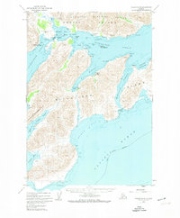
1952 · Kodiak A-4
USGS Topo · 1:63,360
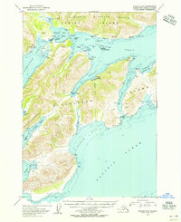
1954 · Kodiak A-4
USGS Topo · 1:63,360
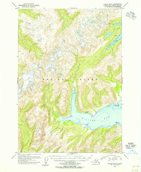
1954 · Kodiak B-4
USGS Topo · 1:63,360
2021 · Kodiak B-3 NW
USGS Topo · 1:25,000