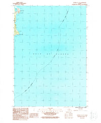
1987 Map of Kodiak C-1 SE
USGS Topo · Published 1988About this map
Cape Chiniak and the surrounding coastline of Kodiak Island Borough are documented here during the late 1980s. This survey focuses on the rugged eastern littoral where the island meets the Gulf of Alaska, capturing a landscape dominated by shoreline features rather than human settlement. The map identifies the protected waters of Chiniak Lagoon and the prominent headland at Cape Greville, alongside a sparse network of unimproved roads and a single geodetic marker, Geo Sta 60333. This provisional edition serves as a precise record of the shoreline and tidal areas, noting numerous offshore hazards labeled simply as Rocks that define the navigation of these northern waters.
Find a feature on this map
7 named features on this map. Tap any name to fly to it.
Don’t see what you’re looking for? This feature index may not catch every label — zoom into the map to look around manually.
Map Details
Editions of this 1987 Kodiak C-1 SE Map
This is the sole edition of this map. No revisions or reprints were ever made.
Other maps of this area

1949 · Kodiak C-1
USGS Topo · 1:63,360

1951 · Kodiak C-1
USGS Topo · 1:63,360

1952 · Kodiak
USGS Topo · 1:250,000
1987 · Kodiak C-1 SW
USGS Topo · 1:25,000
1987 · Kodiak C-1 NW
USGS Topo · 1:25,000
1987 · Kodiak C-1 NE
USGS Topo · 1:25,000
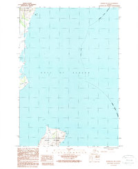
1987 · Kodiak B-1 NW
USGS Topo · 1:25,000
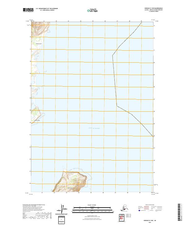
2021 · Kodiak B-1 NW
USGS Topo · 1:25,000
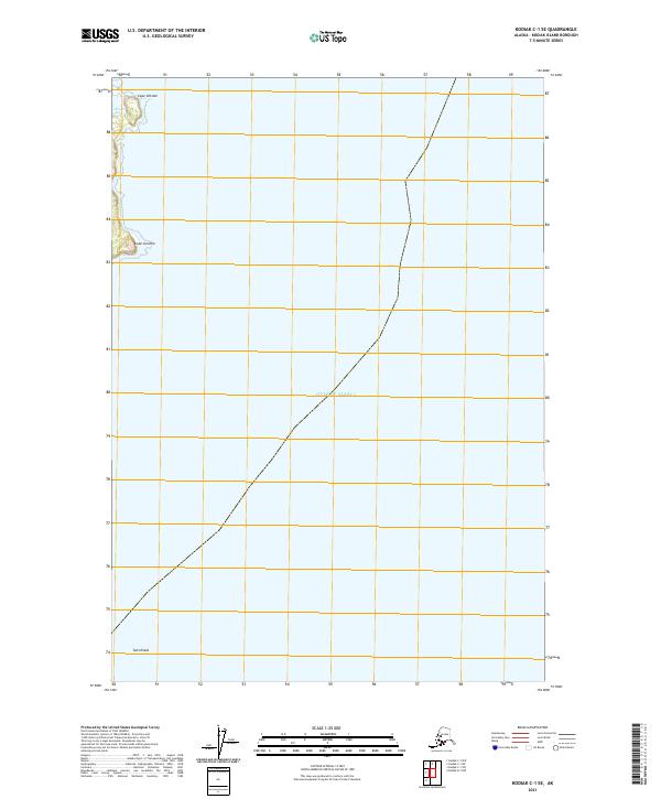
2021 · Kodiak C-1 SE
USGS Topo · 1:25,000
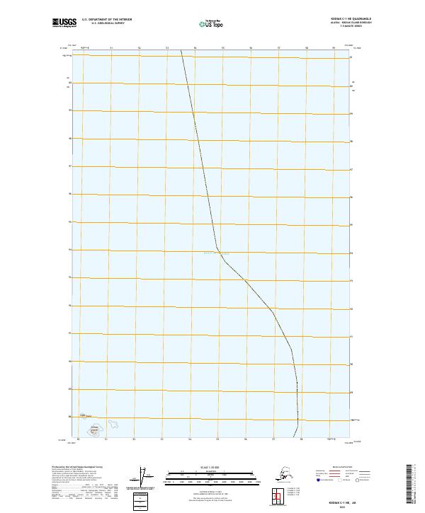
2021 · Kodiak C-1 NE
USGS Topo · 1:25,000