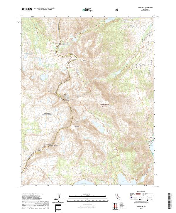
2021 Map of Koip Peak
USGS Topo · Published 2021About this map
The Sierra Nevada divide defines the character of this high-altitude landscape, where the boundary between Yosemite National Park and Inyo National Forest follows the jagged ridgeline of the Kuna Crest. This alpine terrain is marked by ancient glacial pathways such as Bloody Canyon, providing a throughway from Walker Lake up toward Mono Pass. The topography reveals a complex network of high-elevation lakes including Helen Lake, Gem Lake, and the Lost Lakes, which feed the drainages of Rush Creek and Parker Creek. Hikers and researchers can trace the legendary Pacific Crest National Scenic Trail as it crosses Donohue Pass, a critical transition point between watersheds. The map also documents several historic mountain passes, such as Parker Pass and Koip Peak Pass, illustrating the traditional routes used to navigate this section of the central Sierra.
Find a feature on this map
56 named features on this map. Tap any name to fly to it.
Don’t see what you’re looking for? This feature index may not catch every label — zoom into the map to look around manually.
Map Details
Editions of this 2021 Koip Peak Map
This is the sole edition of this map. No revisions or reprints were ever made.
Other maps of this area

1901 · Mt. Lyell
USGS Topo · 1:125,000

1947 · Mariposa
USGS Topo · 1:250,000

1948 · Mariposa
USGS Topo · 1:250,000

1953 · Merced Peak
USGS Topo · 1:62,500

1953 · Mono Craters
USGS Topo · 1:62,500

1953 · Devils Postpile
USGS Topo · 1:62,500

1956 · Tuolumne Meadows
USGS Topo · 1:62,500

1957 · Mariposa
USGS Topo · 1:250,000

1963 · Mariposa
USGS Topo · 1:250,000
1976 · Yosemite Valley
USGS Topo · 1:100,000