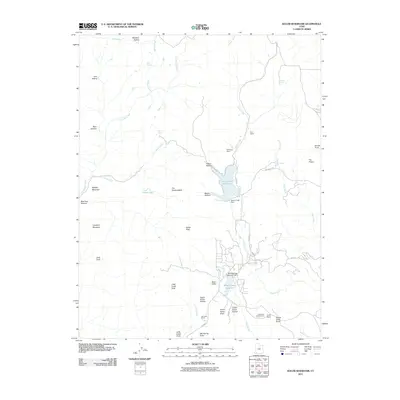
2011 Map of Kolob Reservoir
USGS Topo · Published 2011About this map
Kolob Creek Reservoir and the adjacent Blue Springs Reservoir dominate this high-altitude landscape in Washington County, Utah. The terrain is a complex arrangement of plateaus and deep drainages, including the Upper Kolob Plateau and Lower Kolob Plateau, carved by watercourses like La Verkin Creek and Goose Creek. Human activity is marked by traditional land use at Sevy Ranch, Spillsbury Ranch, and Lamareau Ranch, reflecting the area's ranching heritage. Local infrastructure is concentrated along Kolob Rd, which provides access to recreational landmarks such as the Lava Point Campground. Notable geologic and topographic features like Bullpen Mountain, The Hardscrabble, and the Little Creek Sinks highlight the unique geomorphology of the region during this 2011 survey.
Find a feature on this map
52 named features on this map. Tap any name to fly to it.
Don’t see what you’re looking for? This feature index may not catch every label — zoom into the map to look around manually.
Map Details
Editions of this 2011 Kolob Reservoir Map
This is the sole edition of this map. No revisions or reprints were ever made.
Other maps of this area

1885 · St. George
USGS Topo · 1:250,000

1886 · Kanab
USGS Topo · 1:250,000

1891 · St. George
USGS Topo · 1:250,000

1950 · Kanarraville
USGS Topo · 1:24,000

1950 · Cedar City
USGS Topo · 1:62,500

1950 · Cedar Mountain
USGS Topo · 1:24,000

1951 · Kanarraville
USGS Topo · 1:24,000

1952 · Cedar Mountain
USGS Topo · 1:24,000

1953 · Cedar City
USGS Topo · 1:250,000

1954 · Orderville Canyon NW
USGS Topo · 1:24,000