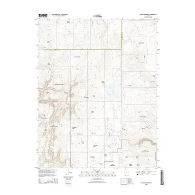
2014 Map of Kolob Reservoir
USGS Topo · Published 2014About this map
Zion National Park encompasses the southern half of this map, showcasing the dramatic transition from the high Upper Kolob Plateau down into deeply carved drainage systems. The landscape is defined by massive geographic features such as Kolob Peak and Bullpen Mtn, which overlook a network of canyons including Bear Trap Canyon and Wildcat Canyon. This 2014 survey documents a rugged backcountry where water management and recreation meet, highlighted by the presence of Kolob Reservoir and Blue Springs Reservoir.
Find a feature on this map
64 named features on this map. Tap any name to fly to it.
Don’t see what you’re looking for? This feature index may not catch every label — zoom into the map to look around manually.
Map Details
Editions of this 2014 Kolob Reservoir Map
This is the sole edition of this map. No revisions or reprints were ever made.
Other maps of this area

1885 · St. George
USGS Topo · 1:250,000

1886 · Kanab
USGS Topo · 1:250,000

1891 · St. George
USGS Topo · 1:250,000

1950 · Kanarraville
USGS Topo · 1:24,000

1950 · Cedar City
USGS Topo · 1:62,500

1950 · Cedar Mountain
USGS Topo · 1:24,000

1951 · Kanarraville
USGS Topo · 1:24,000

1952 · Cedar Mountain
USGS Topo · 1:24,000

1953 · Cedar City
USGS Topo · 1:250,000

1954 · Orderville Canyon NW
USGS Topo · 1:24,000