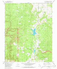
1980 Map of Kolob Reservoir
USGS Topo · Published 1981About this map
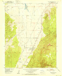
Upper Kolob and the high tablelands of southwestern Utah dominate this 1980 survey, where the rugged southern boundary of Iron and Washington counties meets the northern reaches of Zion National Park. The landscape is defined by its dramatic vertical relief, from the heights of Kolob Peak and Little Creek Peak down to the water systems of Kolob Reservoir and Blue Springs Reservoir. These reservoirs are fed by a network of drainage systems including La Verkin Creek, Kolob Creek, and Bear Creek.
Find a feature on this map
47 named features on this map. Tap any name to fly to it.
Don’t see what you’re looking for? This feature index may not catch every label — zoom into the map to look around manually.
Map Details
Editions of this 1980 Kolob Reservoir Map
2 editions found

Other maps of this area

1885 · St. George
USGS Topo · 1:250,000

1886 · Kanab
USGS Topo · 1:250,000

1891 · St. George
USGS Topo · 1:250,000
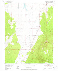
1950 · Kanarraville
USGS Topo · 1:24,000
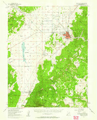
1950 · Cedar City
USGS Topo · 1:62,500
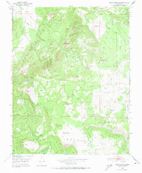
1950 · Cedar Mountain
USGS Topo · 1:24,000
1951 · Kanarraville
USGS Topo · 1:24,000

1952 · Cedar Mountain
USGS Topo · 1:24,000

1953 · Cedar City
USGS Topo · 1:250,000

1954 · Orderville Canyon NW
USGS Topo · 1:24,000