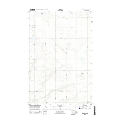
2014 Map of Kongsberg NE
USGS Topo · Published 2014About this map
Wintering River winds through the heart of this McHenry County landscape, defining the local hydrology alongside several notable drainage features. The terrain is marked by the distinct elevation of Little Butte and the carved paths of Blacktail Coulee and Spring Coulee. These watercourses create a natural contrast to the rigid, geometric grid of the township-and-range road system, which includes thoroughfares like 40th St N and 13th Ave N. For those researching local heritage, the S Prairie Cem is a key landmark located near the river, serving as a primary point of historical and genealogical interest in this rural prairie setting.
Find a feature on this map
20 named features on this map. Tap any name to fly to it.
Don’t see what you’re looking for? This feature index may not catch every label — zoom into the map to look around manually.
Map Details
Editions of this 2014 Kongsberg NE Map
This is the sole edition of this map. No revisions or reprints were ever made.
Other maps of this area

1929 · Kongsberg
USGS Topo · 1:62,500

1929 · Balfour
USGS Topo · 1:62,500

1948 · Voltaire
USGS Topo · 1:24,000

1948 · Velva
USGS Topo · 1:62,500

1949 · Velva
USGS Topo · 1:24,000

1949 · Voltaire
USGS Topo · 1:24,000

1951 · Velva
USGS Topo · 1:62,500

1954 · Minot
USGS Topo · 1:250,000

1954 · McClusky
USGS Topo · 1:250,000

1957 · Bergen
USGS Topo · 1:24,000