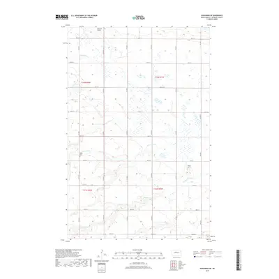
2018 Map of Kongsberg NE
USGS Topo · Published 2018About this map
South Prairie Cem sits near the upper reaches of the Wintering River, marking a quiet point of human history in this corner of McHenry County. The landscape is defined by the natural drainage of several coulees, including Blacktail Coulee in the north and Spring Coulee in the south. These seasonal waterways cut through the prairie, shaping the local topography and creating natural corridors amidst the section-line road grid.
Find a feature on this map
18 named features on this map. Tap any name to fly to it.
Don’t see what you’re looking for? This feature index may not catch every label — zoom into the map to look around manually.
Map Details
Editions of this 2018 Kongsberg NE Map
This is the sole edition of this map. No revisions or reprints were ever made.
Other maps of this area

1929 · Kongsberg
USGS Topo · 1:62,500

1929 · Balfour
USGS Topo · 1:62,500

1948 · Voltaire
USGS Topo · 1:24,000

1948 · Velva
USGS Topo · 1:62,500

1949 · Velva
USGS Topo · 1:24,000

1949 · Voltaire
USGS Topo · 1:24,000

1951 · Velva
USGS Topo · 1:62,500

1954 · Minot
USGS Topo · 1:250,000

1954 · McClusky
USGS Topo · 1:250,000

1957 · Bergen
USGS Topo · 1:24,000