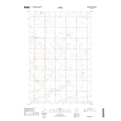
2020 Map of Kongsberg NE
USGS Topo · Published 2020About this map
South Prairie Cem serves as a quiet landmark on this McHenry County prairie, situated just south of the meandering Wintering River. The landscape is defined by the subtle drainage patterns of the Northern Plains, where Spring Coulee and Blacktail Coulee carve through the glacial till to manage the region's seasonal runoff. A prominent elevation, Little Butte, breaks the horizon line in the southeastern portion of the map, providing a distinct geographic marker for a territory otherwise organized by a precise grid of section lines and gravel roads. This 2020 update by the U.S. Geological Survey reflects the enduring agricultural layout of the region, where township boundaries like t152n r80w and t151n r79w continue to dictate the placement of farmsteads and rural infrastructure.
Find a feature on this map
18 named features on this map. Tap any name to fly to it.
Don’t see what you’re looking for? This feature index may not catch every label — zoom into the map to look around manually.
Map Details
Editions of this 2020 Kongsberg NE Map
This is the sole edition of this map. No revisions or reprints were ever made.
Other maps of this area

1929 · Kongsberg
USGS Topo · 1:62,500

1929 · Balfour
USGS Topo · 1:62,500

1948 · Voltaire
USGS Topo · 1:24,000

1948 · Velva
USGS Topo · 1:62,500

1949 · Velva
USGS Topo · 1:24,000

1949 · Voltaire
USGS Topo · 1:24,000

1951 · Velva
USGS Topo · 1:62,500

1954 · Minot
USGS Topo · 1:250,000

1954 · McClusky
USGS Topo · 1:250,000

1957 · Bergen
USGS Topo · 1:24,000