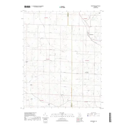
2017 Map of Koshkonong
USGS Topo · Published 2017About this map
Koshkonong serves as the primary hub in this corner of Oregon County, Missouri, situated along the county line and a network of rural routes. The landscape is defined by the Ozark Plateau's characteristic topography, featuring dramatic relief such as Grand Gulf Natural Bridge and the larger Grand Gulf formation. These geological features are complemented by numerous valleys and seasonal drainages, including Wet Hollow and Red Ranch Hollow. For those researching local family history, the map identifies critical sites like Koshkonong Cem and the smaller Koellings Graveyard to the southwest. The intricate drainage patterns of Myatt Cr, Bussell Br, and English Cr dictate the layout of the local roads, showing how the natural terrain has influenced settlement and transportation from early development through the modern era.
Find a feature on this map
66 named features on this map. Tap any name to fly to it.
Don’t see what you’re looking for? This feature index may not catch every label — zoom into the map to look around manually.
Map Details
Editions of this 2017 Koshkonong Map
This is the sole edition of this map. No revisions or reprints were ever made.
Other maps of this area

1938 · West Plains
USGS Topo · 1:24,000

1940 · West Plains
USGS Topo · 1:24,000

1943 · Thayer
USGS Topo · 1:62,500

1944 · West Plains
USGS Topo · 1:62,500

1946 · Thayer
USGS Topo · 1:62,500

1946 · West Plains
USGS Topo · 1:62,500

1950 · Salem
USGS Topo · 1:62,500

1951 · Salem
USGS Topo · 1:62,500

1957 · Poplar Bluff
USGS Topo · 1:250,000

1959 · Poplar Bluff
USGS Topo · 1:250,000