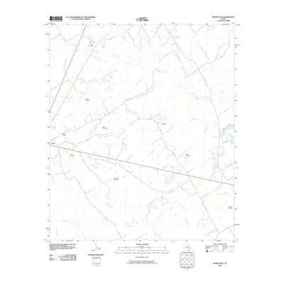
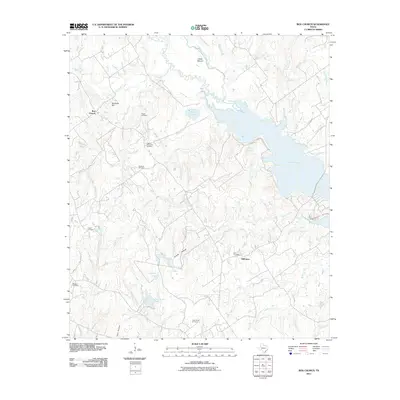
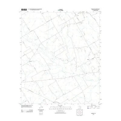
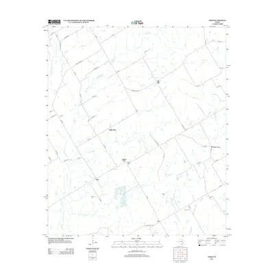
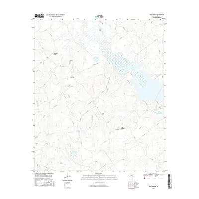
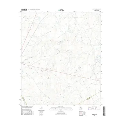
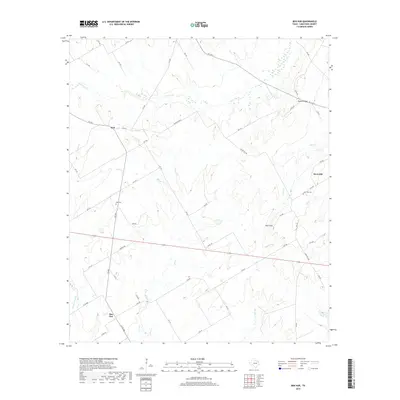
1966 Map of Kosse East
USGS Topo · Published 1978About this map
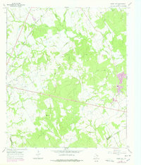
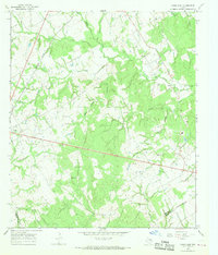
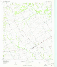
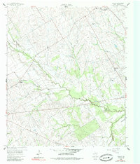
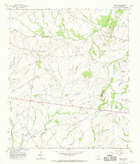
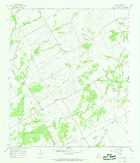
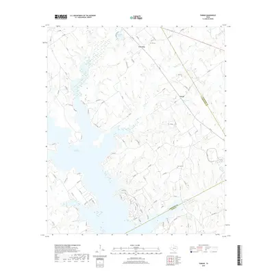
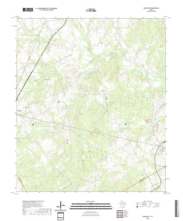
The Southern Pacific rail line cuts across the northwest corner of this Limestone County landscape, serving the settlement of Kosse. This survey, based on 1965 photography with 1970s revisions, illustrates a rural topography defined by an intricate network of creeks and branches. A cluster of historic community sites surrounds Kosse, including the Eutaw Cem and Eutaw Ch, while the Kosse Cem sits just south of the town center. The landscape is dotted with family-named landmarks and cemeteries, such as Sowders Cem, Moss Cem, and Buttrill Cem, reflecting generations of settlement along the waterways of Big Steele Creek and Gentry Creek. Farther south, the Shady Grove Ch and Shady Grove Cem mark a distinct local hub, and the appearance of an Oil Well and Gas Well indicates the integration of energy extraction into the agricultural life of the region.
Find a feature on this map
33 named features on this map. Tap any name to fly to it.
Don’t see what you’re looking for? This feature index may not catch every label — zoom into the map to look around manually.
Map Details
Editions of this 1966 Kosse East Map
2 editions found
Historical Maps of Kosse Through Time
54 maps found
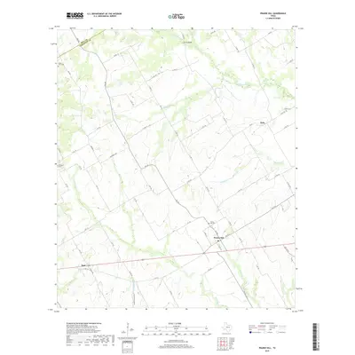
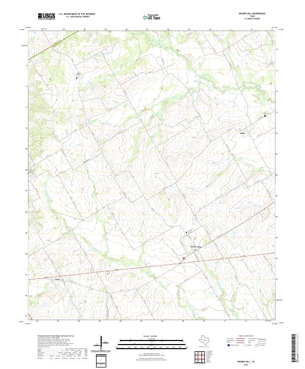
1957 Prairie Hill
Limestone County, TX
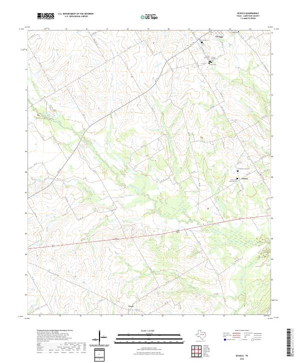
1960 Echols
Limestone County, TX
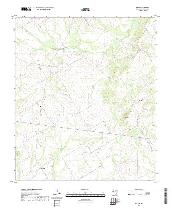
1966 Ben Hur
Limestone County, TX
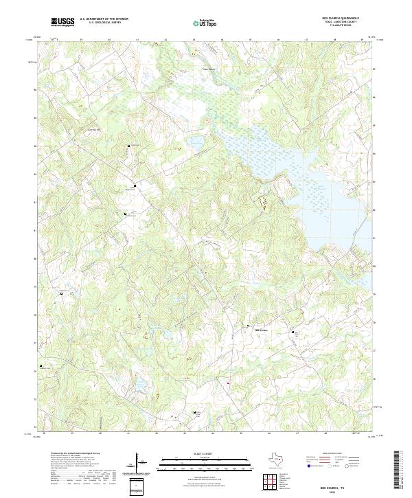
1966 Box Church
Limestone County, TX
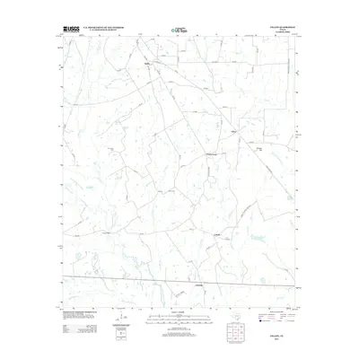
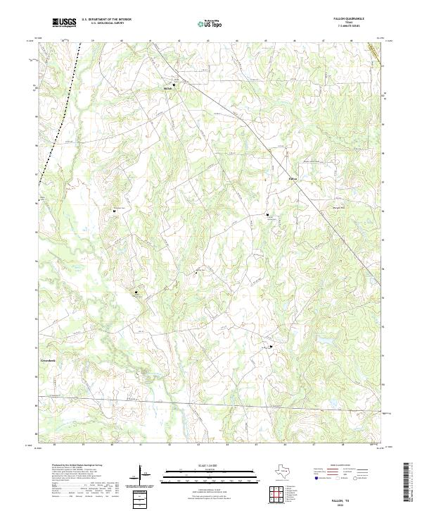
1966 Fallon
Limestone County, TX
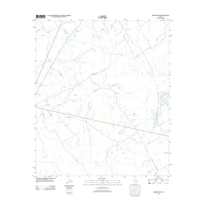
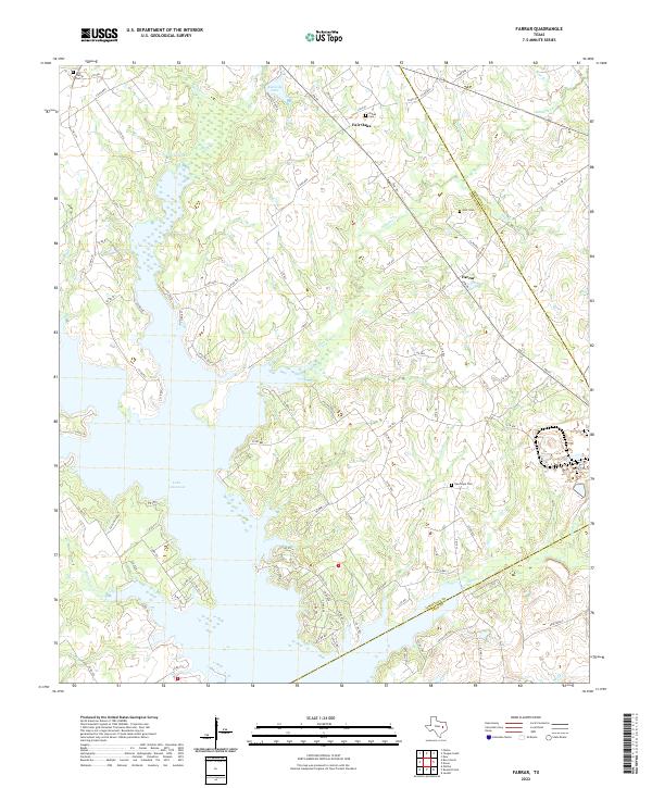
1966 Farrar
Limestone County, TX
1966 Kosse East
Limestone County, TX
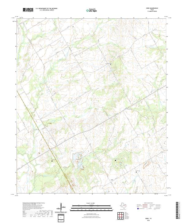
1966 Odds
Limestone County, TX
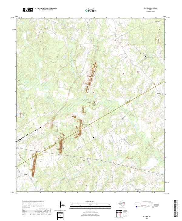
1966 Oletha
Limestone County, TX

2010 Ben Hur
Limestone County, TX
2010 Echols
Limestone County, TX
2010 Fallon
Limestone County, TX
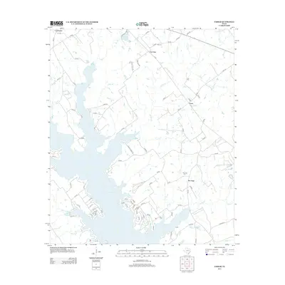
2010 Kosse East
Limestone County, TX
2010 Odds
Limestone County, TX
2010 Oletha
Limestone County, TX
2010 Prairie Hill
Limestone County, TX
2011 Box Church
Limestone County, TX
2011 Farrar
Limestone County, TX
2013 Ben Hur
Limestone County, TX
2013 Box Church
Limestone County, TX
2013 Echols
Limestone County, TX
2013 Fallon
Limestone County, TX
2013 Farrar
Limestone County, TX
2013 Kosse East
Limestone County, TX
2013 Odds
Limestone County, TX
2013 Oletha
Limestone County, TX
2013 Prairie Hill
Limestone County, TX
2016 Ben Hur
Limestone County, TX
2016 Box Church
Limestone County, TX
2016 Echols
Limestone County, TX
2016 Fallon
Limestone County, TX
2016 Farrar
Limestone County, TX
2016 Kosse East
Limestone County, TX
2016 Odds
Limestone County, TX
2016 Oletha
Limestone County, TX
2016 Prairie Hill
Limestone County, TX
2019 Ben Hur
Limestone County, TX
2019 Box Church
Limestone County, TX
2019 Echols
Limestone County, TX
2019 Fallon
Limestone County, TX
2019 Farrar
Limestone County, TX
2019 Kosse East
Limestone County, TX
2019 Odds
Limestone County, TX
2019 Oletha
Limestone County, TX
2019 Prairie Hill
Limestone County, TX
2022 Ben Hur
Limestone County, TX
2022 Box Church
Limestone County, TX
2022 Echols
Limestone County, TX
2022 Fallon
Limestone County, TX
2022 Farrar
Limestone County, TX
2022 Kosse East
Limestone County, TX
2022 Odds
Limestone County, TX
2022 Oletha
Limestone County, TX
2022 Prairie Hill
Limestone County, TX