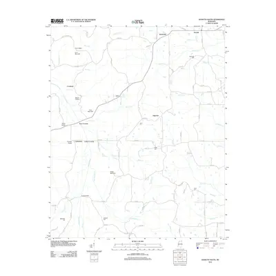
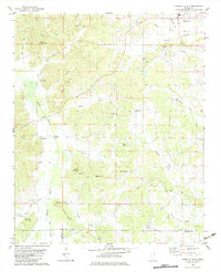
2012 Map of Kossuth South
USGS Topo · Published 2012About this map
Kossuth and its surrounding rural hamlets define this portion of Alcorn County, characterized by a complex network of creeks and ridges. The Hatchie River winds through the western landscape, joined by numerous tributaries such as Elliott Cr and Mason Cr. The settlement pattern is notably dispersed, with small communities like Jonestown, Crumtown, and Hightown connected by a web of county roads. These names often reflect local topography and families, seen in landmarks like Crum Mountain and Hancock Hill.
Find a feature on this map
42 named features on this map. Tap any name to fly to it.
Don’t see what you’re looking for? This feature index may not catch every label — zoom into the map to look around manually.
Map Details
Editions of this 2012 Kossuth South Map
This is the sole edition of this map. No revisions or reprints were ever made.
Other maps of this area
1921 · Booneville
USGS Topo · 1:48,000
1922 · Booneville
USGS Topo · 1:62,500
1950 · Corinth
USGS Topo · 1:62,500
1951 · Walnut
USGS Topo · 1:62,500
1955 · Ripley
USGS Topo · 1:62,500

1956 · Tupelo
USGS Topo · 1:250,000

1958 · Tupelo
USGS Topo · 1:250,000
1972 · Jumpertown
USGS Topo · 1:24,000
1973 · Booneville
USGS Topo · 1:24,000
1982 · Kossuth South
USGS Topo · 1:24,000