
1972 Map of Jumpertown
USGS Topo · Published 1975About this map
The Tippah Hills dominate the western landscape of this Northeast Mississippi survey, marking the rugged divide between Tippah and Prentiss counties. The settlement of Jumpertown serves as a central hub, characterized by a concentration of community institutions including Jumpertown Ch, Jumpertown Cem, and the Prentiss Lookout Tower. To the south, Lake Mohawk and Cox Lake punctuate the wooded terrain, while the Hatchie River flows through the northwest corner. The distribution of rural churches such as Morton Chapel Cem, Pauls Chapel, and Christ Ch reflects the established social geography of the early 1970s. Industrial and infrastructure markers like the Sandpit and a prominent Pipeline indicate the local economic activity during this period, alongside the small communities of Pisgah and Blackland.
Find a feature on this map
36 named features on this map. Tap any name to fly to it.
Don’t see what you’re looking for? This feature index may not catch every label — zoom into the map to look around manually.
Map Details
Editions of this 1972 Jumpertown Map
This is the sole edition of this map. No revisions or reprints were ever made.
Other maps of this area

1921 · Booneville
USGS Topo · 1:48,000

1922 · Booneville
USGS Topo · 1:62,500

1950 · Corinth
USGS Topo · 1:62,500

1951 · Walnut
USGS Topo · 1:62,500

1955 · Ripley
USGS Topo · 1:62,500

1956 · Tupelo
USGS Topo · 1:250,000

1958 · Tupelo
USGS Topo · 1:250,000
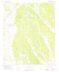
1973 · Wheeler
USGS Topo · 1:24,000
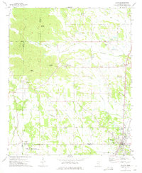
1973 · Baldwyn
USGS Topo · 1:24,000
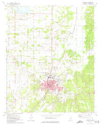
1973 · Booneville
USGS Topo · 1:24,000