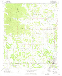
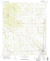
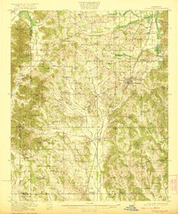
1973 Map of Baldwyn
USGS Topo · Published 1975About this map
The Brice's Cross Roads National Battlefield Site marks the southwestern corner of this survey, preserving the grounds of a significant 1864 conflict. The landscape is characterized by a series of prominent elevations such as Geeville Mountain and Kitchen Mountain, which overlook a network of meandering waterways including Twentymile Creek and Okeelala Creek. The settlement of Baldwyn serves as the primary hub, situated at the junction of the Gulf Mobile and Ohio and Illinois Central railroads. The map records several small communities and rural gathering places like Frankstown, Geeville, and Bethany. Numerous country churches and cemeteries, such as Ingram Ch and the Sheppard Cem, are scattered throughout the hills, providing valuable data for genealogists tracing local families across Prentiss Co and Lee Co.
Find a feature on this map
38 named features on this map. Tap any name to fly to it.
Don’t see what you’re looking for? This feature index may not catch every label — zoom into the map to look around manually.
Map Details
Editions of this 1973 Baldwyn Map
2 editions found
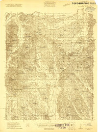
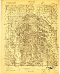
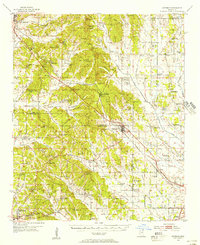
Other maps of this area
1921 · Booneville
USGS Topo · 1:48,000
1921 · Tupelo
USGS Topo · 1:48,000
1922 · Booneville
USGS Topo · 1:62,500

1923 · Tupelo
USGS Topo · 1:62,500
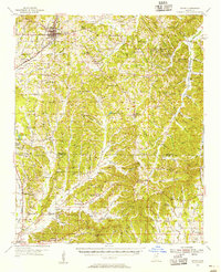
1955 · Ripley
USGS Topo · 1:62,500
1955 · Sherman
USGS Topo · 1:62,500

1956 · Tupelo
USGS Topo · 1:250,000

1958 · Tupelo
USGS Topo · 1:250,000

1972 · Jumpertown
USGS Topo · 1:24,000
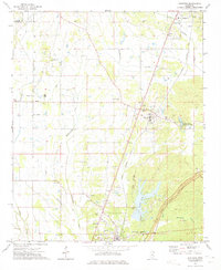
1973 · Guntown
USGS Topo · 1:24,000