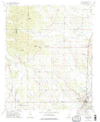
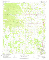
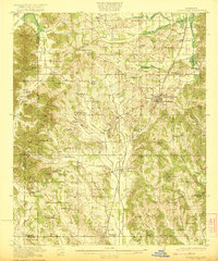
1973 Map of Baldwyn
USGS Topo · Published 1975About this map
Brices Cross Roads National Battlefield Site anchors the southwestern portion of this 1970s survey, marking a significant historical geography where Lee, Prentiss, and Union counties converge. The town of Baldwyn dominates the southeast, showing the industrial alignment of the Illinois Central Gulf railroad alongside local features like the Booneville-Baldwyn Airport.
Find a feature on this map
37 named features on this map. Tap any name to fly to it.
Don’t see what you’re looking for? This feature index may not catch every label — zoom into the map to look around manually.
Map Details
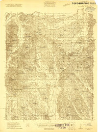
Editions of this 1973 Baldwyn Map
2 editions found
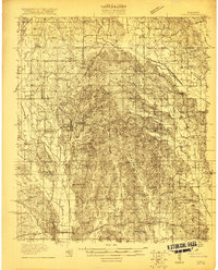
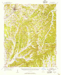
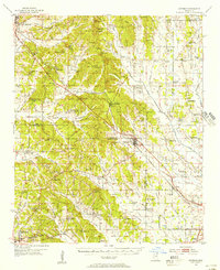
Other maps of this area
1921 · Booneville
USGS Topo · 1:48,000
1921 · Tupelo
USGS Topo · 1:48,000
1922 · Booneville
USGS Topo · 1:62,500

1923 · Tupelo
USGS Topo · 1:62,500
1955 · Ripley
USGS Topo · 1:62,500
1955 · Sherman
USGS Topo · 1:62,500

1956 · Tupelo
USGS Topo · 1:250,000

1958 · Tupelo
USGS Topo · 1:250,000

1972 · Jumpertown
USGS Topo · 1:24,000
1973 · Guntown
USGS Topo · 1:24,000