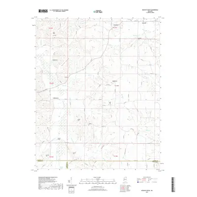
2018 Map of Kossuth South
USGS Topo · Published 2018About this map
Kossuth anchors the northern edge of this North Mississippi landscape, where the headwaters of numerous creeks begin their descent through the hills. This survey illustrates a rural interior defined by family-named heights and hollows, such as Elam Ridge and Kellum Hollow. The southern portion of the map is dominated by the westward-flowing Hatchie River and its associated Blissdale Swamp, a significant natural drainage feature for the region. Small rural centers like Crumtown, Hightown, and Collinstown are connected by a network of county roads, showing the persistent settlement patterns of Alcorn County. Genealogists will find particular value in the placement of Union Cem, Pleasant Grove Cem, and Alcorn Cem, while the Turnpike Bridge crossing Little Clear Cr suggests historical transit routes through the lowlands.
Find a feature on this map
94 named features on this map. Tap any name to fly to it.
Don’t see what you’re looking for? This feature index may not catch every label — zoom into the map to look around manually.
Map Details
Editions of this 2018 Kossuth South Map
This is the sole edition of this map. No revisions or reprints were ever made.
Other maps of this area

1921 · Booneville
USGS Topo · 1:48,000

1922 · Booneville
USGS Topo · 1:62,500

1950 · Corinth
USGS Topo · 1:62,500

1951 · Walnut
USGS Topo · 1:62,500

1955 · Ripley
USGS Topo · 1:62,500

1956 · Tupelo
USGS Topo · 1:250,000

1958 · Tupelo
USGS Topo · 1:250,000

1972 · Jumpertown
USGS Topo · 1:24,000
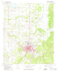
1973 · Booneville
USGS Topo · 1:24,000
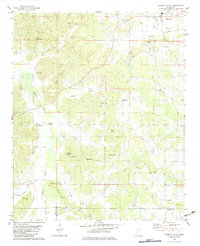
1982 · Kossuth South
USGS Topo · 1:24,000