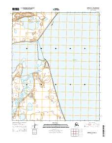
2014 Map of Kotzebue A-4 NW
USGS Topo · Published 2014About this map
The Bering Land Bridge National Preserve dominates this coastal landscape, protecting a vast stretch of the Seward Peninsula where the North American continent meets the Arctic waters. This 2014 survey documents the shoreline where Goodhope Bay opens into the larger Kotzebue Sound. The terrain is characterized by a complex network of coastal wetlands, small lakes, and the winding course of the Pish River, which meanders through the western portion of the quadrangle. The map illustrates the intersection of several townships, including t9n r25w and t10n r24w, showing a largely undeveloped wilderness defined by its hydrography and federally protected status.
Find a feature on this map
10 named features on this map. Tap any name to fly to it.
Don’t see what you’re looking for? This feature index may not catch every label — zoom into the map to look around manually.
Map Details
Editions of this 2014 Kotzebue A-4 NW Map
This is the sole edition of this map. No revisions or reprints were ever made.
Other maps of this area

1950 · Kotzebue B-4
USGS Topo · 1:63,360

1950 · Kotzebue B-5
USGS Topo · 1:63,360

1950 · Kotzebue A-4
USGS Topo · 1:63,360

1950 · Kotzebue A-5
USGS Topo · 1:63,360

1951 · Kotzebue
USGS Topo · 1:250,000

1958 · Kotzebue
USGS Topo · 1:250,000

1964 · Kotzebue
USGS Topo · 1:250,000
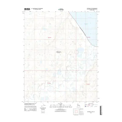
2014 · Kotzebue A-4 SW
USGS Topo · 1:25,000
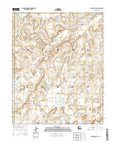
2014 · Kotzebue A-5 SE
USGS Topo · 1:25,000
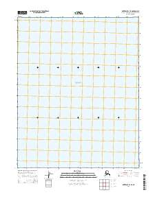
2014 · Kotzebue B-4 SE
USGS Topo · 1:25,000