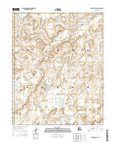
2014 Map of Kotzebue A-5 SE
USGS Topo · Published 2014About this map
The Bering Land Bridge National Preserve dominates this Arctic landscape, representing a protected wilderness that preserves a vital archaeological and geological corridor. The terrain is defined by a dense network of small lakes and tundra ponds, characteristic of the permafrost-influenced hydrology of the Seward Peninsula. Along the northeastern edge, the Fish River meanders through the flats, serving as a primary watercourse in this remote region. The map also delineates the administrative boundary between the Northwest Arctic Borough and the Nome Census Area, a line that bisects this uninhabited expanse of the Alaskan interior. This survey provides a precise record of the natural drainage patterns and topographical contours within a federally protected landscape that remains largely unchanged by modern development.
Find a feature on this map
7 named features on this map. Tap any name to fly to it.
Don’t see what you’re looking for? This feature index may not catch every label — zoom into the map to look around manually.
Map Details
Editions of this 2014 Kotzebue A-5 SE Map
This is the sole edition of this map. No revisions or reprints were ever made.
Other maps of this area

1950 · Bendeleben D-5
USGS Topo · 1:63,360

1950 · Bendeleben
USGS Topo · 1:250,000

1950 · Bendeleben D-4
USGS Topo · 1:63,360

1950 · Kotzebue A-4
USGS Topo · 1:63,360

1950 · Kotzebue A-5
USGS Topo · 1:63,360

1951 · Bendeleben
USGS Topo · 1:250,000

1951 · Kotzebue
USGS Topo · 1:250,000

1958 · Kotzebue
USGS Topo · 1:250,000

1964 · Bendeleben
USGS Topo · 1:250,000

1964 · Kotzebue
USGS Topo · 1:250,000