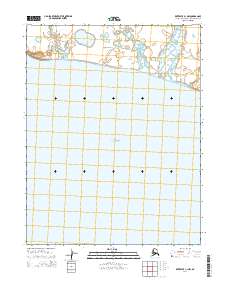
2014 Map of Kotzebue C-1 NW
USGS Topo · Published 2014About this map
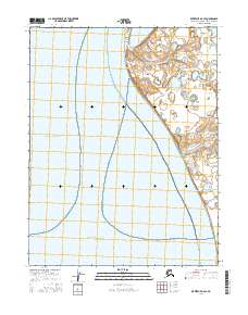
Kotzebue Sound dominates this coastal survey, where the waters meet the western shoreline of the Baldwin Peninsula. The landscape is characterized by a low-lying coastal profile and the prominent landmark of Cape Blossom, which serves as a vital navigational point for the region. The interior terrain is marked by a complex network of thaw lakes and wetlands, typical of the Arctic coastal plain in the t16n r18w and t16n r17w townships. This map provides a clear view of the interface between the marine environment and the permafrost-influenced landforms of the Alaska-Northwest Arctic Borough, showing the natural state of the peninsula before modern infrastructure reached this specific section of the coast.
Find a feature on this map
7 named features on this map. Tap any name to fly to it.
Don’t see what you’re looking for? This feature index may not catch every label — zoom into the map to look around manually.
Map Details
Editions of this 2014 Kotzebue C-1 NW Map
This is the sole edition of this map. No revisions or reprints were ever made.
Other maps of this area

1951 · Kotzebue
USGS Topo · 1:250,000

1951 · Kotzebue D-1
USGS Topo · 1:63,360

1951 · Kotzebue D-2
USGS Topo · 1:63,360
1951 · Kotzebue C-1
USGS Topo · 1:63,360

1958 · Kotzebue
USGS Topo · 1:250,000

1964 · Kotzebue
USGS Topo · 1:250,000
2014 · Kotzebue C-1 OE W NE
USGS Topo · 1:25,000
2016 · Kotzebue D-1 SE
USGS Topo · 1:25,000
2016 · Kotzebue D-1 SW
USGS Topo · 1:25,000
2016 · Kotzebue D-2 SE
USGS Topo · 1:25,000