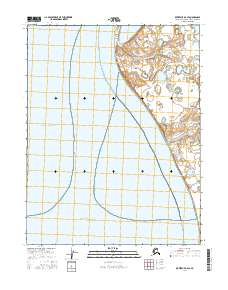
2016 Map of Kotzebue D-2 SE
USGS Topo · Published 2016About this map
Kotzebue sits at the northern tip of the Baldwin Peninsula, where the land meets the expansive waters of Kotzebue Sound. This 2016 survey highlights the coastal infrastructure and road network surrounding this vital Arctic hub. The layout of the town is connected to the surrounding terrain by several key thoroughfares, including Ted Stevens Way and the aptly named Beach Road.
Find a feature on this map
9 named features on this map. Tap any name to fly to it.
Don’t see what you’re looking for? This feature index may not catch every label — zoom into the map to look around manually.
Map Details
Editions of this 2016 Kotzebue D-2 SE Map
This is the sole edition of this map. No revisions or reprints were ever made.
Other maps of this area

1951 · Kotzebue
USGS Topo · 1:250,000

1951 · Kotzebue D-1
USGS Topo · 1:63,360

1951 · Kotzebue D-2
USGS Topo · 1:63,360
1951 · Kotzebue C-1
USGS Topo · 1:63,360

1958 · Kotzebue
USGS Topo · 1:250,000

1964 · Kotzebue
USGS Topo · 1:250,000
2014 · Kotzebue C-1 NW
USGS Topo · 1:25,000
2014 · Kotzebue C-1 OE W NE
USGS Topo · 1:25,000
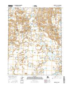
2016 · Kotzebue D-1 SW
USGS Topo · 1:25,000
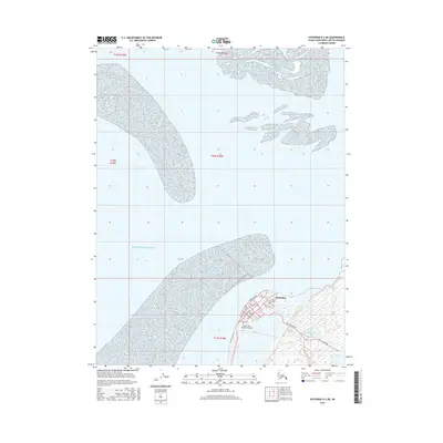
2016 · Kotzebue D-2 NE
USGS Topo · 1:25,000