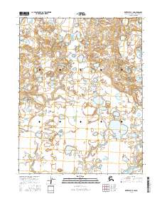
2016 Map of Kotzebue D-1 SW
USGS Topo · Published 2016About this map
Baldwin Peninsula dominates this coastal landscape on the edge of the Arctic Circle, revealing an intricate network of wetlands, tundra ponds, and complex shorelines. This region of the Baldwin Peninsula is characterized by its low-lying topography and high density of small water bodies, illustrating the permafrost-shaped environment of the Northwest Arctic. The map detail reflects the Public Land Survey System grids, specifically crossing through sections of t17n r17w and t16n r17w, which provide a geographic framework for this remote Arctic territory. Unlike more developed coastal areas, this map shows a landscape largely shaped by natural hydrology and minimal human infrastructure, offering a clear view of the pristine topography as it existed in the early twenty-first century.
Find a feature on this map
5 named features on this map. Tap any name to fly to it.
Don’t see what you’re looking for? This feature index may not catch every label — zoom into the map to look around manually.
Map Details
Editions of this 2016 Kotzebue D-1 SW Map
This is the sole edition of this map. No revisions or reprints were ever made.
Other maps of this area

1951 · Kotzebue
USGS Topo · 1:250,000

1951 · Kotzebue D-1
USGS Topo · 1:63,360

1951 · Kotzebue D-2
USGS Topo · 1:63,360
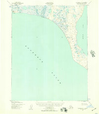
1951 · Kotzebue C-1
USGS Topo · 1:63,360

1958 · Kotzebue
USGS Topo · 1:250,000

1964 · Kotzebue
USGS Topo · 1:250,000
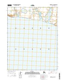
2014 · Kotzebue C-1 NW
USGS Topo · 1:25,000
2014 · Kotzebue C-1 OE W NE
USGS Topo · 1:25,000
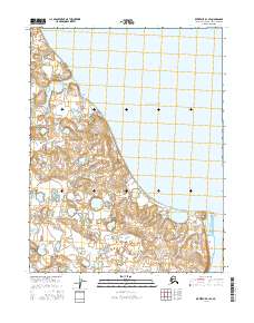
2016 · Kotzebue D-1 SE
USGS Topo · 1:25,000
2016 · Kotzebue D-1 NE
USGS Topo · 1:25,000