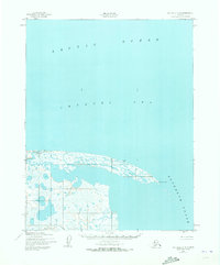
1950 Map of Kotzebue C-4
USGS Topo · Published 1973About this map
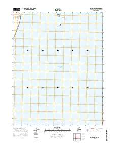
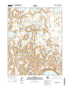
Cape Espenberg marks the northernmost tip of this coastal landscape, where the land fragments into a series of lagoons and sandspits at the entrance to Kotzebue Sound. The survey, based on aerial photography from mid-century, reveals a delicate shoreline interface between the Chukchi Sea and the massive water bodies of the north. This is a purely maritime and wilderness environment, dominated by the hydrology of the Arctic Ocean. The map documents the intricate network of ponds and marshland behind the primary coastal dunes, illustrating the shifting geomorphology of the Seward Peninsula's northern coast in an era before significant modern climatic shifts. There are no roads or trails indicated, emphasizing the reliance on coastal navigation in this subarctic region.
Find a feature on this map
4 named features on this map. Tap any name to fly to it.
Don’t see what you’re looking for? This feature index may not catch every label — zoom into the map to look around manually.
Map Details
Editions of this 1950 Kotzebue C-4 Map
2 editions found
Other maps of this area
1950 · Kotzebue C-5
USGS Topo · 1:63,360

1950 · Kotzebue B-4
USGS Topo · 1:63,360

1950 · Kotzebue B-5
USGS Topo · 1:63,360
1950 · Kotzebue C-4
USGS Topo · 1:63,360

1951 · Kotzebue
USGS Topo · 1:250,000

1958 · Kotzebue
USGS Topo · 1:250,000

1964 · Kotzebue
USGS Topo · 1:250,000
2014 · Kotzebue C-4 SE
USGS Topo · 1:25,000
2014 · Kotzebue B-4 NE
USGS Topo · 1:25,000
2014 · Kotzebue B-5 NE
USGS Topo · 1:25,000