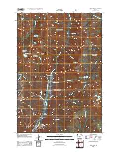
2011 Map of Krag Peak
USGS Topo · Published 2011About this map
Krag Peak stands as a prominent topographical focal point in this high-altitude reach of Union County, Oregon. The landscape is defined by its series of alpine basins, featuring Lookingglass Lake and the smaller Two Color Lake, several of which include water management structures like the Lookingglass Lake Dam and Crater Lake Dam. These features suggest a history of managing mountain runoff for downstream use. The drainage system is anchored by Eagle Creek and its major tributaries, including the East Fork Eagle Creek and Little Eagle Creek, which carve through the rock alongside Granite Cliff and the narrow passage of The Box.
Find a feature on this map
38 named features on this map. Tap any name to fly to it.
Don’t see what you’re looking for? This feature index may not catch every label — zoom into the map to look around manually.
Map Details
Editions of this 2011 Krag Peak Map
This is the sole edition of this map. No revisions or reprints were ever made.
Other maps of this area

1915 · Pine
USGS Topo · 1:125,000

1954 · Cornucopia
USGS Topo · 1:62,500

1954 · Eagle Cap
USGS Topo · 1:62,500

1955 · Baker
USGS Topo · 1:250,000

1955 · Grangeville
USGS Topo · 1:250,000

1957 · Halfway
USGS Topo · 1:62,500

1957 · Sparta
USGS Topo · 1:62,500

1959 · Baker
USGS Topo · 1:250,000

1959 · Grangeville
USGS Topo · 1:250,000

1981 · Baker
USGS Topo · 1:100,000