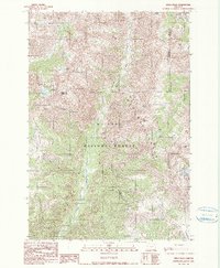
1990 Map of Krag Peak
USGS Topo · Published 1990About this map
The high peaks of the Wallowa Mountains define this landscape, where the Eagle Cap Wilderness meets the protected reaches of the Wallowa National Forest and Whitman National Forest. This high-altitude terrain is characterized by a dense network of glacial lakes and alpine streams, including Lookingglass Lake, Two Color Lake, and the source waters of East Fork Eagle Creek. The map documents the intricate natural topography of the region, specifically along the Union Co Baker Co and Union Co Wallowa Co boundaries.
Find a feature on this map
44 named features on this map. Tap any name to fly to it.
Don’t see what you’re looking for? This feature index may not catch every label — zoom into the map to look around manually.
Map Details
Editions of this 1990 Krag Peak Map
2 editions found
Other maps of this area

1915 · Pine
USGS Topo · 1:125,000

1954 · Cornucopia
USGS Topo · 1:62,500

1954 · Eagle Cap
USGS Topo · 1:62,500

1955 · Baker
USGS Topo · 1:250,000

1955 · Grangeville
USGS Topo · 1:250,000

1957 · Halfway
USGS Topo · 1:62,500

1957 · Sparta
USGS Topo · 1:62,500

1959 · Baker
USGS Topo · 1:250,000

1959 · Grangeville
USGS Topo · 1:250,000

1981 · Baker
USGS Topo · 1:100,000