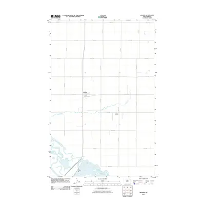
2011 Map of Kramer
USGS Topo · Published 2011About this map
Kramer serves as the central hub of this agricultural landscape in Bottineau County, where a rigid grid of rural roads like 92nd St NW and 1st Ave NE defines the prairie settlement pattern. The town is situated just north of where Stone Creek meanders westward toward its confluence with the Souris River. This river corridor in the southwestern corner is marked by significant hydrological management, specifically Dam Number 326, which creates a complex series of wetlands and pools. Local heritage is centered at the Kramer Cemetery, located a short distance southeast of the town site. The map captures the quiet intersection of human engineering and the natural drainage of the North Dakota plains, illustrating how early 21st-century water management projects interact with the established township and range road system.
Find a feature on this map
23 named features on this map. Tap any name to fly to it.
Don’t see what you’re looking for? This feature index may not catch every label — zoom into the map to look around manually.
Map Details
Editions of this 2011 Kramer Map
This is the sole edition of this map. No revisions or reprints were ever made.
Other maps of this area

1949 · Kramer
USGS Topo · 1:24,000

1950 · Kramer
USGS Topo · 1:24,000

1950 · Upham SE
USGS Topo · 1:24,000

1950 · Deep
USGS Topo · 1:24,000

1950 · Upham
USGS Topo · 1:24,000

1950 · Newburg SE
USGS Topo · 1:24,000

1954 · Souris SW
USGS Topo · 1:24,000

1954 · Landa SE
USGS Topo · 1:24,000

1954 · Souris SE
USGS Topo · 1:24,000

1954 · Minot
USGS Topo · 1:250,000