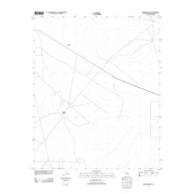
2012 Map of Kramer Hills
USGS Topo · Published 2012About this map
Kramer Hills names both the local terrain and the small settlement in this high desert portion of San Bernardino County. The landscape is characterized by a network of drainage patterns and dry washes typical of the Mojave region, where infrastructure like Powerline Rd and Kramer Rd cuts across the arid floor. The small settlement of Jimgrey sits along a prominent northwest-southeast transit corridor, reflecting the sparse, isolated nature of habitation in the area. This 2012 survey documents the region as a crossroads of utility and transportation, where the topography of the Kramer Hills dictates the layout of the few established routes that serve the high desert interior.
Find a feature on this map
5 named features on this map. Tap any name to fly to it.
Don’t see what you’re looking for? This feature index may not catch every label — zoom into the map to look around manually.
Map Details
Editions of this 2012 Kramer Hills Map
This is the sole edition of this map. No revisions or reprints were ever made.
Other maps of this area

1915 · Searles Lake
USGS Topo · 1:250,000

1932 · Barstow
USGS Topo · 1:125,000

1934 · Barstow
USGS Topo · 1:125,000

1937 · Kramer
USGS Topo · 1:48,000

1942 · Kramer
USGS Topo · 1:62,500

1947 · Kramer
USGS Topo · 1:24,000

1947 · Johannesburg SE
USGS Topo · 1:25,000

1947 · Red Buttes
USGS Topo · 1:24,000

1947 · Trona
USGS Topo · 1:250,000

1948 · Trona
USGS Topo · 1:250,000