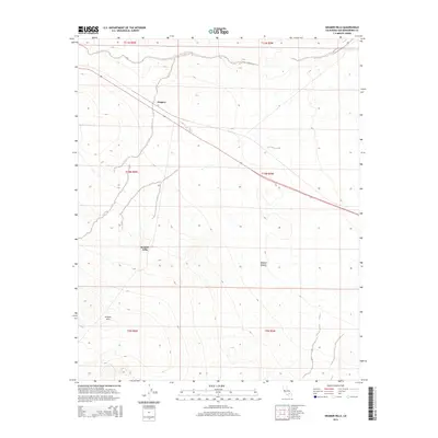
2015 Map of Kramer Hills
USGS Topo · Published 2015About this map
Kramer Hills dominates the central and southern portions of this landscape, rising within the vast Mojave Desert. The map captures a high-desert environment defined by significant elevation changes and ephemeral drainage patterns across the arid terrain. Settlement is sparse, anchored by the location of Jimgrey along the major transportation corridor of Highway 58, which cuts diagonally across the northern half of the quadrangle. This area in San Bernardino County reflects a modern snapshot of the desert's infrastructure, where the public land survey system grids out the open space into townships such as t10n r6w and t11n r5w. Researchers can trace the alignment of the highway against the natural topography of the hills, illustrating how modern travel routes navigate the physical constraints of the California desert.
Find a feature on this map
11 named features on this map. Tap any name to fly to it.
Don’t see what you’re looking for? This feature index may not catch every label — zoom into the map to look around manually.
Map Details
Editions of this 2015 Kramer Hills Map
This is the sole edition of this map. No revisions or reprints were ever made.
Other maps of this area

1915 · Searles Lake
USGS Topo · 1:250,000

1932 · Barstow
USGS Topo · 1:125,000

1934 · Barstow
USGS Topo · 1:125,000

1937 · Kramer
USGS Topo · 1:48,000

1942 · Kramer
USGS Topo · 1:62,500

1947 · Kramer
USGS Topo · 1:24,000

1947 · Johannesburg SE
USGS Topo · 1:25,000

1947 · Red Buttes
USGS Topo · 1:24,000

1947 · Trona
USGS Topo · 1:250,000

1948 · Trona
USGS Topo · 1:250,000