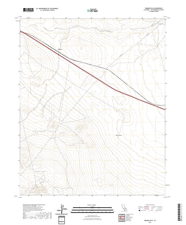
2021 Map of Kramer Hills
USGS Topo · Published 2021About this map
Kramer Hills rise above the high desert floor in this 2021 survey of a remote section of the Mojave Desert. The landscape is defined by its arid terrain and the sparse infrastructure characteristic of the San Bernardino County interior, where long-distance routes like Kramer Rd and Powerline Rd cut across the open basin. A singular point of interest is the settlement of Jimgrey, located along a prominent transportation corridor in the northwestern portion of the map. The map provides a detailed view of the township and range survey system, including t11n r6w and t10n r5w, which grid this expanse of Southern California. For the modern researcher, the sheet documents the persisting isolation of these desert uplands and the specific road networks that support regional utilities and transit.
Find a feature on this map
11 named features on this map. Tap any name to fly to it.
Don’t see what you’re looking for? This feature index may not catch every label — zoom into the map to look around manually.
Map Details
Editions of this 2021 Kramer Hills Map
This is the sole edition of this map. No revisions or reprints were ever made.
Other maps of this area

1915 · Searles Lake
USGS Topo · 1:250,000

1932 · Barstow
USGS Topo · 1:125,000

1934 · Barstow
USGS Topo · 1:125,000

1937 · Kramer
USGS Topo · 1:48,000

1942 · Kramer
USGS Topo · 1:62,500

1947 · Kramer
USGS Topo · 1:24,000

1947 · Johannesburg SE
USGS Topo · 1:25,000

1947 · Red Buttes
USGS Topo · 1:24,000

1947 · Trona
USGS Topo · 1:250,000

1948 · Trona
USGS Topo · 1:250,000