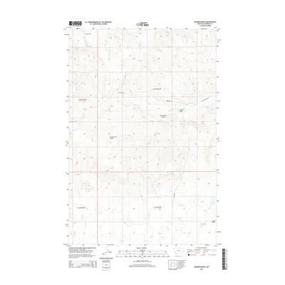
2014 Map of Kramer Ranch
USGS Topo · Published 2014About this map
Kramer Ranch anchors this high-plains landscape in Garfield County, where the terrain is defined by the complex drainage systems of the Missouri River watershed. The area is characterized by seasonal water management and natural springs, such as Yoakum Spring and Lemon Spring, which supported livestock in this arid environment. Significant water storage is evident at Ten Reservoir, Fourteen Reservoir, and Birkrem Reservoir, illustrating the human effort to manage the runoff from intermittent streams. The physical geography is marked by deep coulees like Tom Birkrem Coulee and Leach Coulee, which cut through the hills near Blazier Butte. Transportation across this remote ranchland follows the paths of Glasscock Rd and Ingomar Rd, connecting the scattered resources of the region.
Find a feature on this map
23 named features on this map. Tap any name to fly to it.
Don’t see what you’re looking for? This feature index may not catch every label — zoom into the map to look around manually.
Map Details
Editions of this 2014 Kramer Ranch Map
This is the sole edition of this map. No revisions or reprints were ever made.
Other maps of this area

1954 · Jordan
USGS Topo · 1:250,000

1954 · Forsyth
USGS Topo · 1:250,000

1956 · Jordan
USGS Topo · 1:250,000

1957 · Forsyth
USGS Topo · 1:250,000

1958 · Jordan
USGS Topo · 1:250,000

1958 · Forsyth
USGS Topo · 1:250,000

1964 · Jordan
USGS Topo · 1:250,000

1965 · Acorn Flats
USGS Topo · 1:24,000

1965 · Kramer Ranch
USGS Topo · 1:24,000

1965 · Hole-In-The-Rock
USGS Topo · 1:24,000