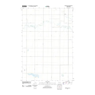
2011 Map of Kreiser Lake
USGS Topo · Published 2011About this map
The Wild Rice River meanders sharply through the northern half of this landscape, its tight oxbows defining the local drainage system near the border of North Dakota's eastern plains. In the northeast corner, Elk Creek flows through the area, with the Elk Creek Cemetery situated nearby as a significant local genealogical marker. The southern portion of the quadrangle is dominated by the waters of Kreiser Lake, a distinctive feature in this otherwise grid-patterned agricultural region.
Find a feature on this map
20 named features on this map. Tap any name to fly to it.
Don’t see what you’re looking for? This feature index may not catch every label — zoom into the map to look around manually.
Map Details
Editions of this 2011 Kreiser Lake Map
This is the sole edition of this map. No revisions or reprints were ever made.
Other maps of this area

1907 · Wyndmere
USGS Topo · 1:125,000

1953 · Fargo
USGS Topo · 1:250,000

1956 · Fargo
USGS Topo · 1:250,000

1958 · Hamlin
USGS Topo · 1:24,000

1958 · Geneseo
USGS Topo · 1:24,000

1960 · Wyndmere
USGS Topo · 1:24,000

1960 · Wyndmere SE
USGS Topo · 1:24,000

1960 · De Lamere
USGS Topo · 1:24,000

1964 · Kreiser Lake
USGS Topo · 1:24,000

1964 · Moselle
USGS Topo · 1:24,000
Featured Places
- Dexter Township, ND
- Wyndmere Township, ND
- Liberty Grove Township, ND
- Danton Township, ND
- Richland County, ND